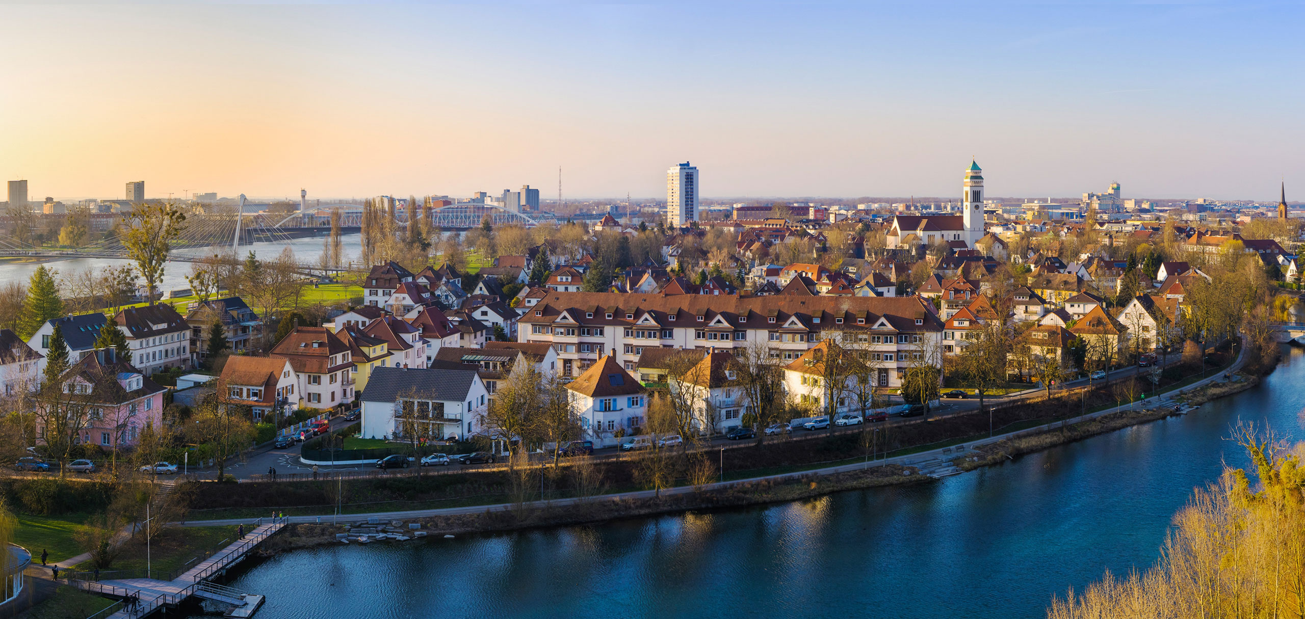


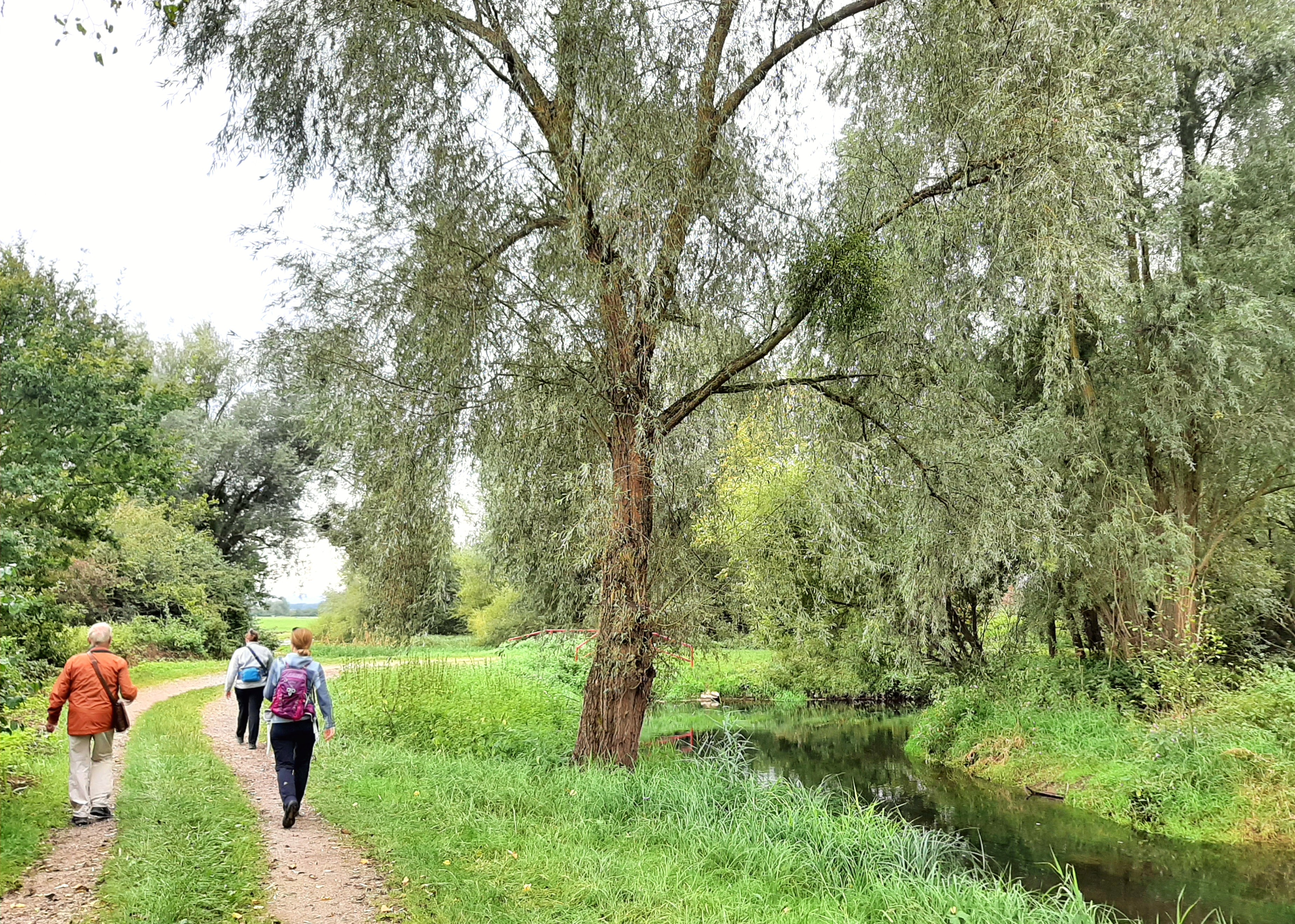
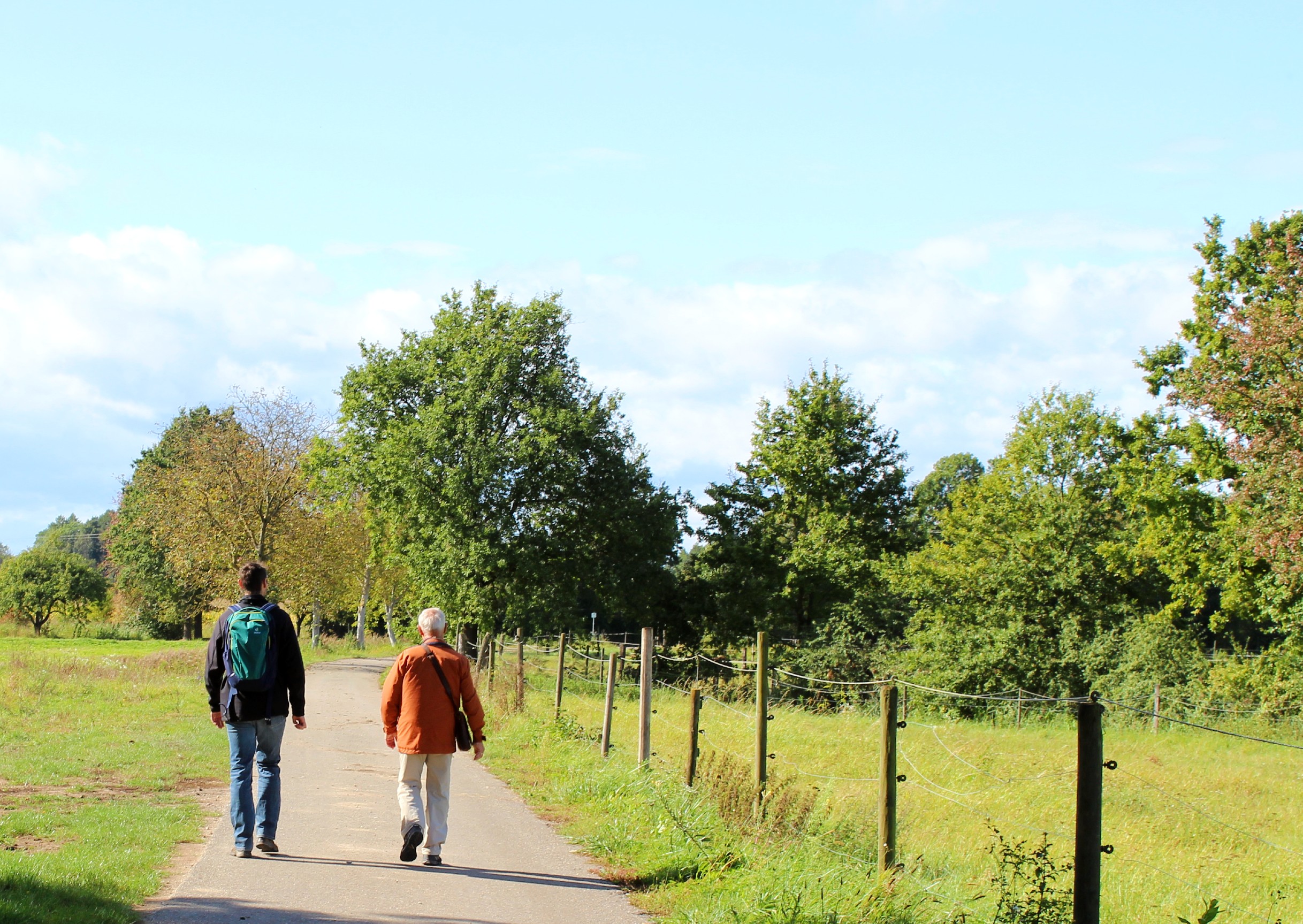
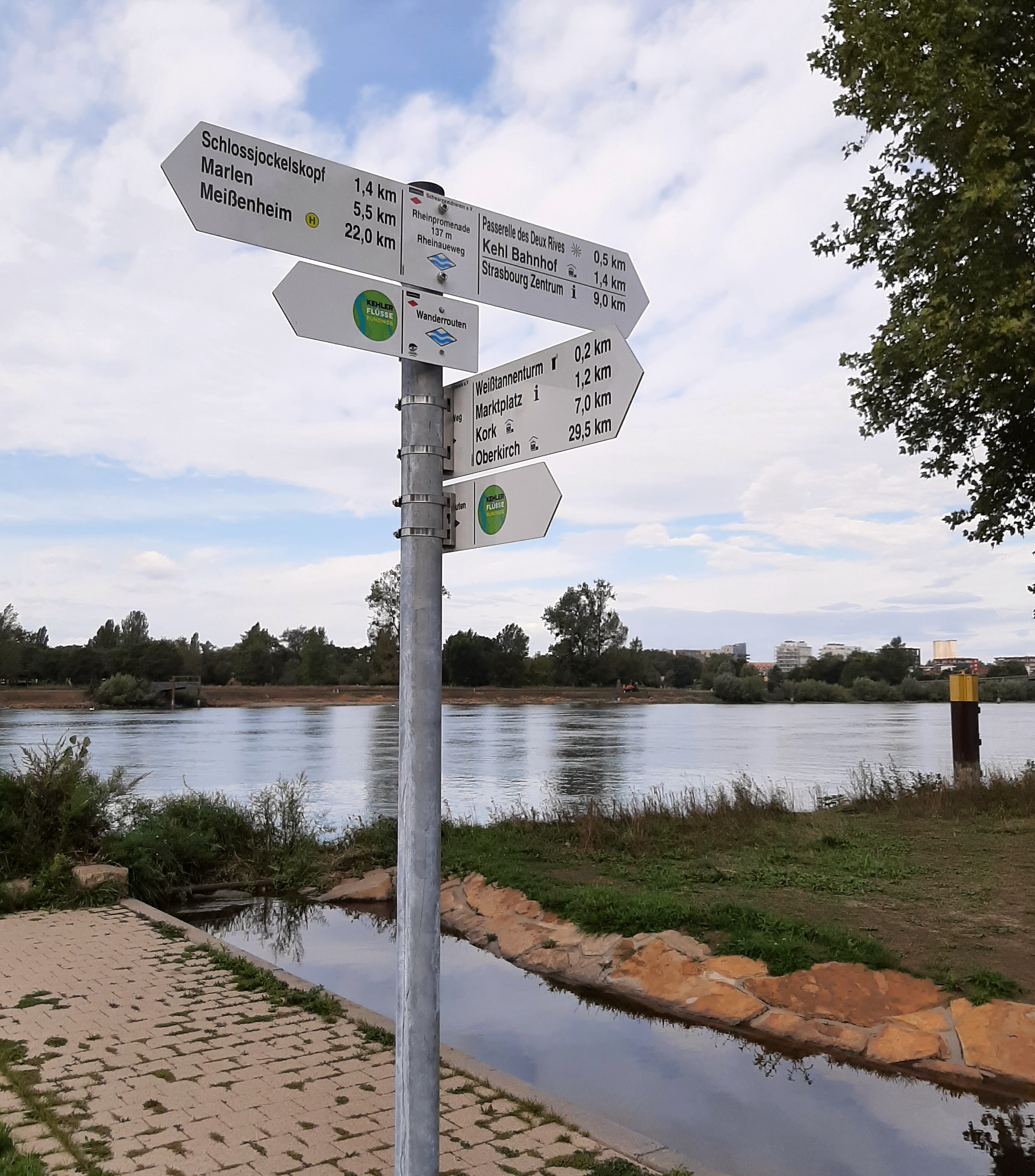
Walking routes
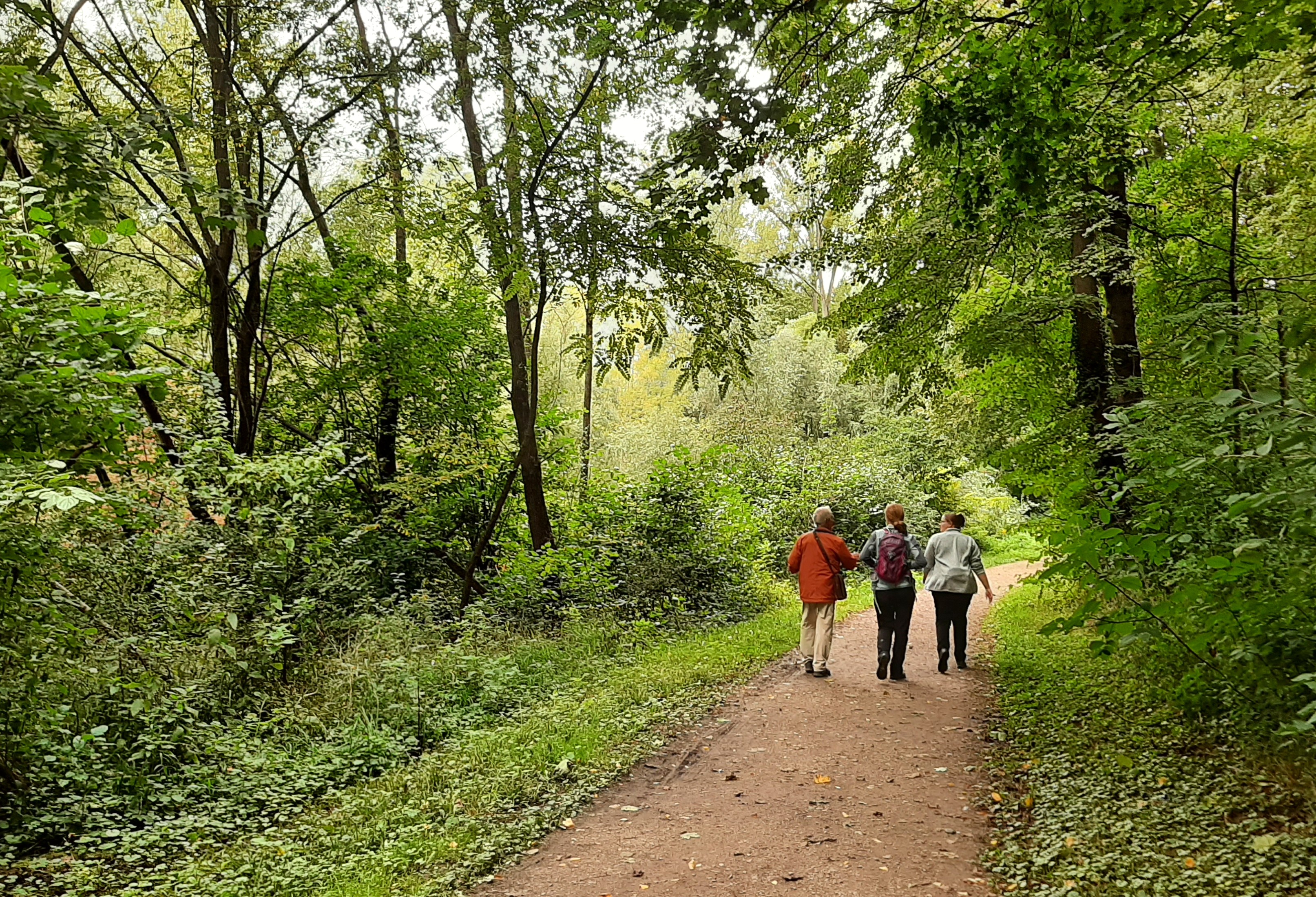
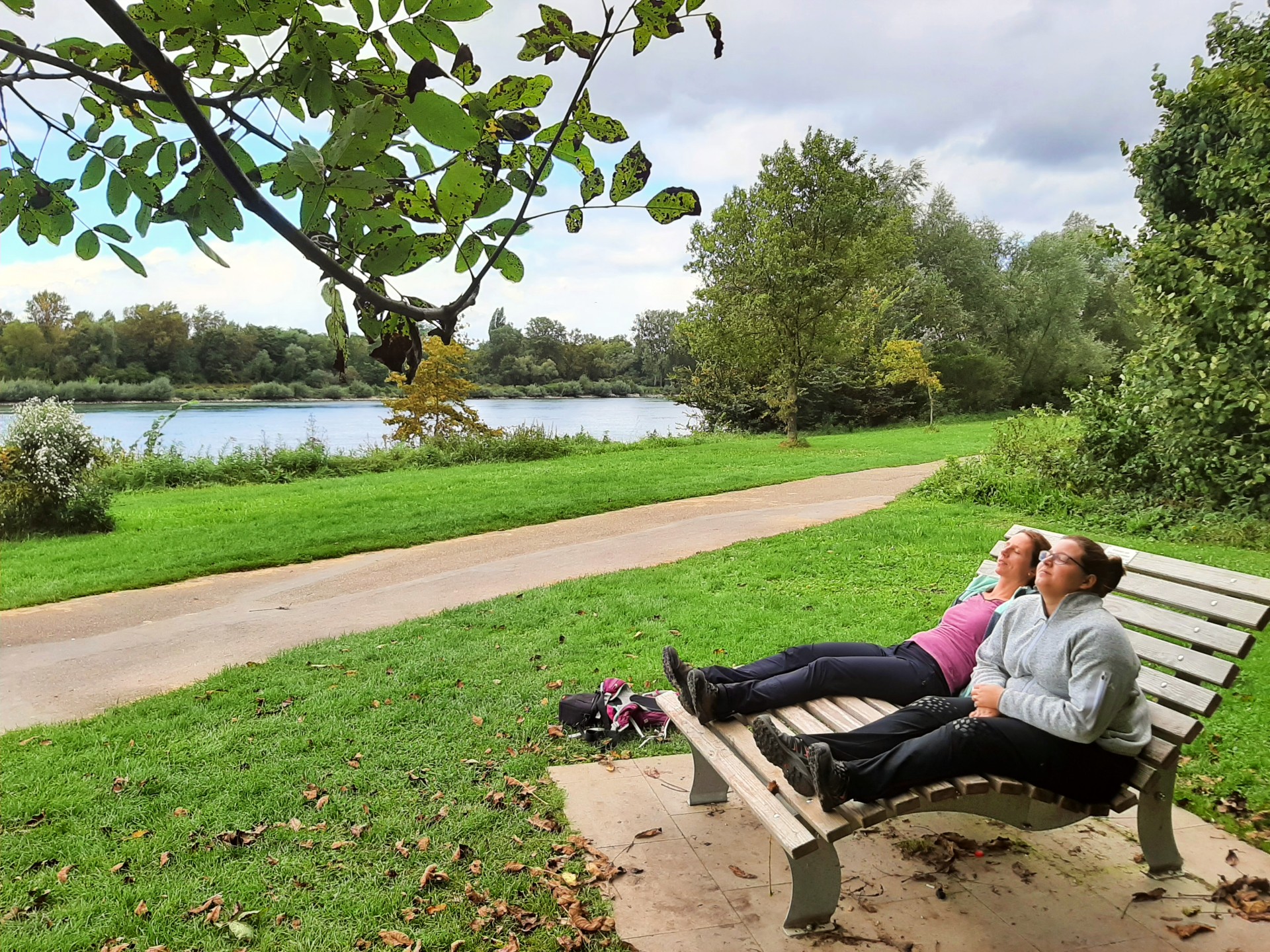
There are various paths around Kehl along the bank of the Rhine amid its beautiful meadows and forests
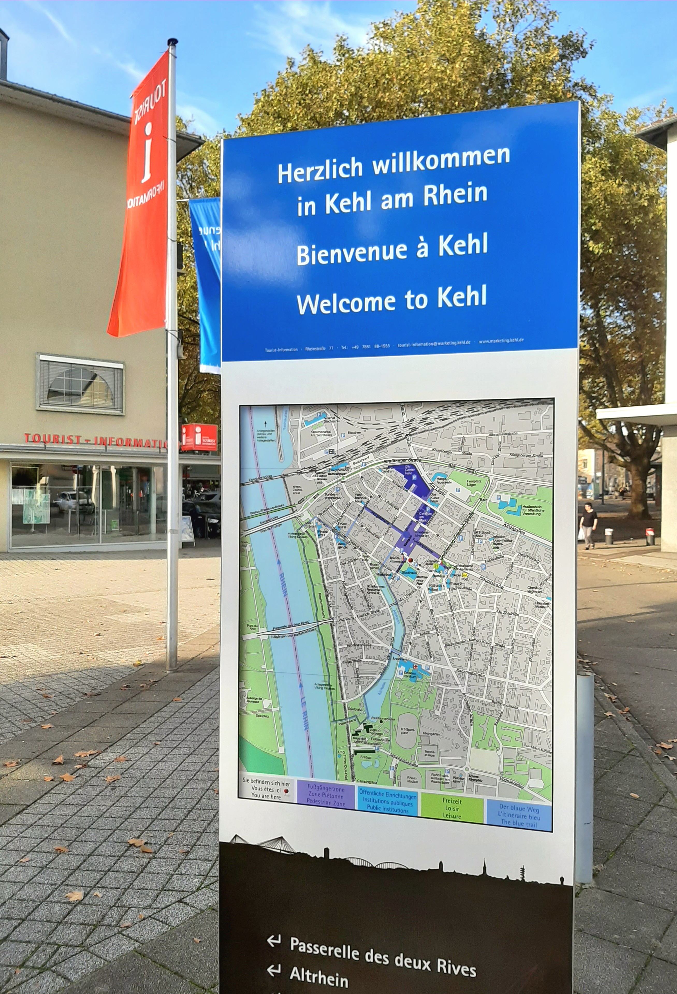
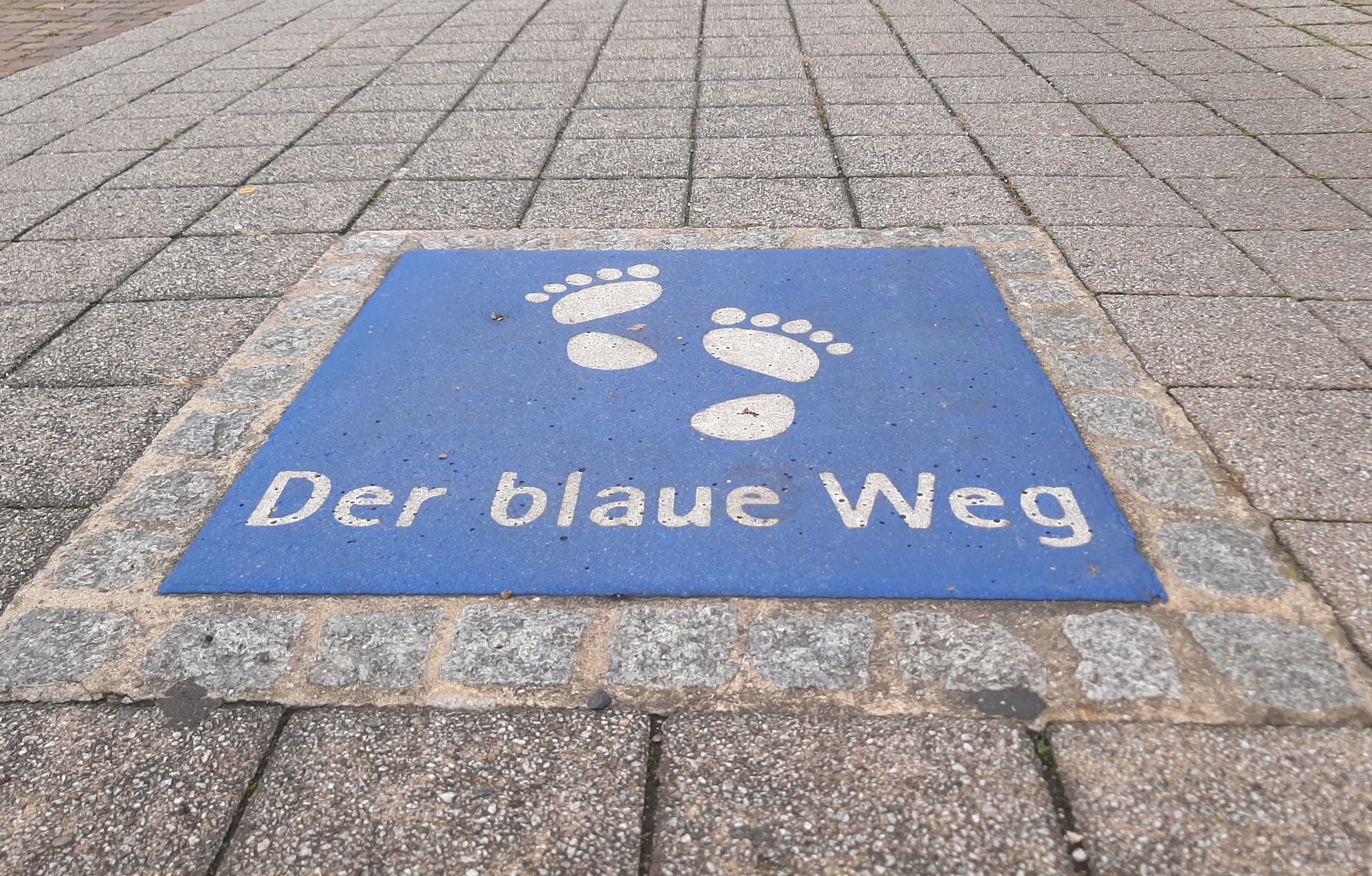
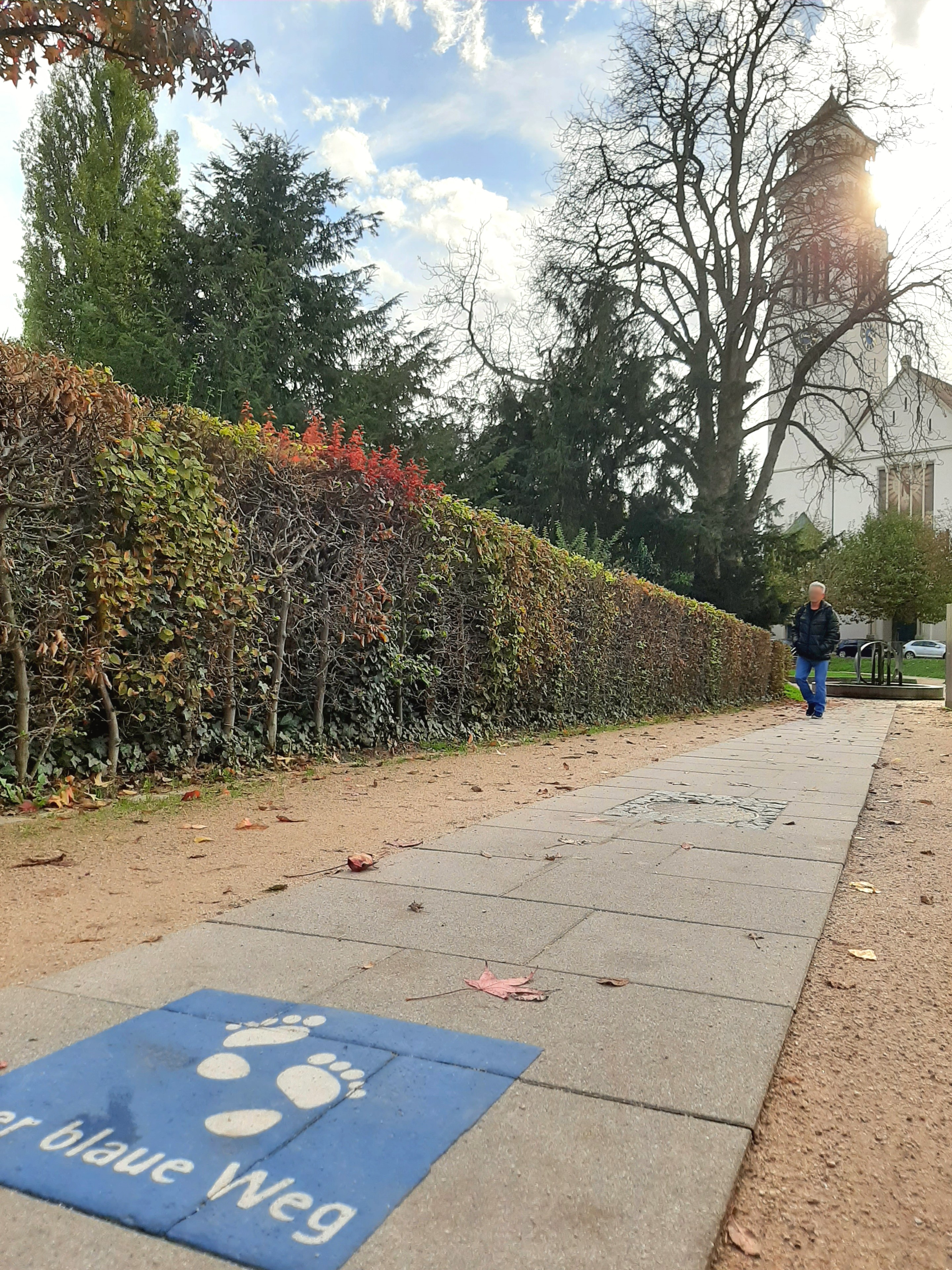
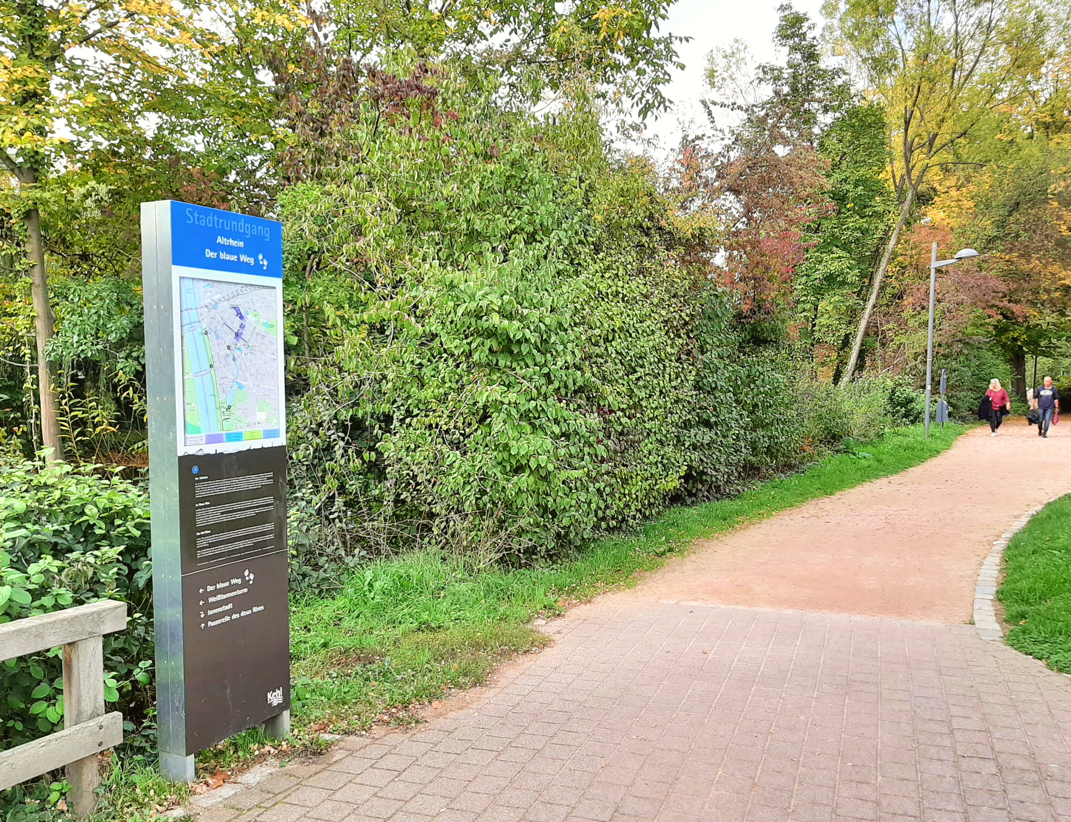
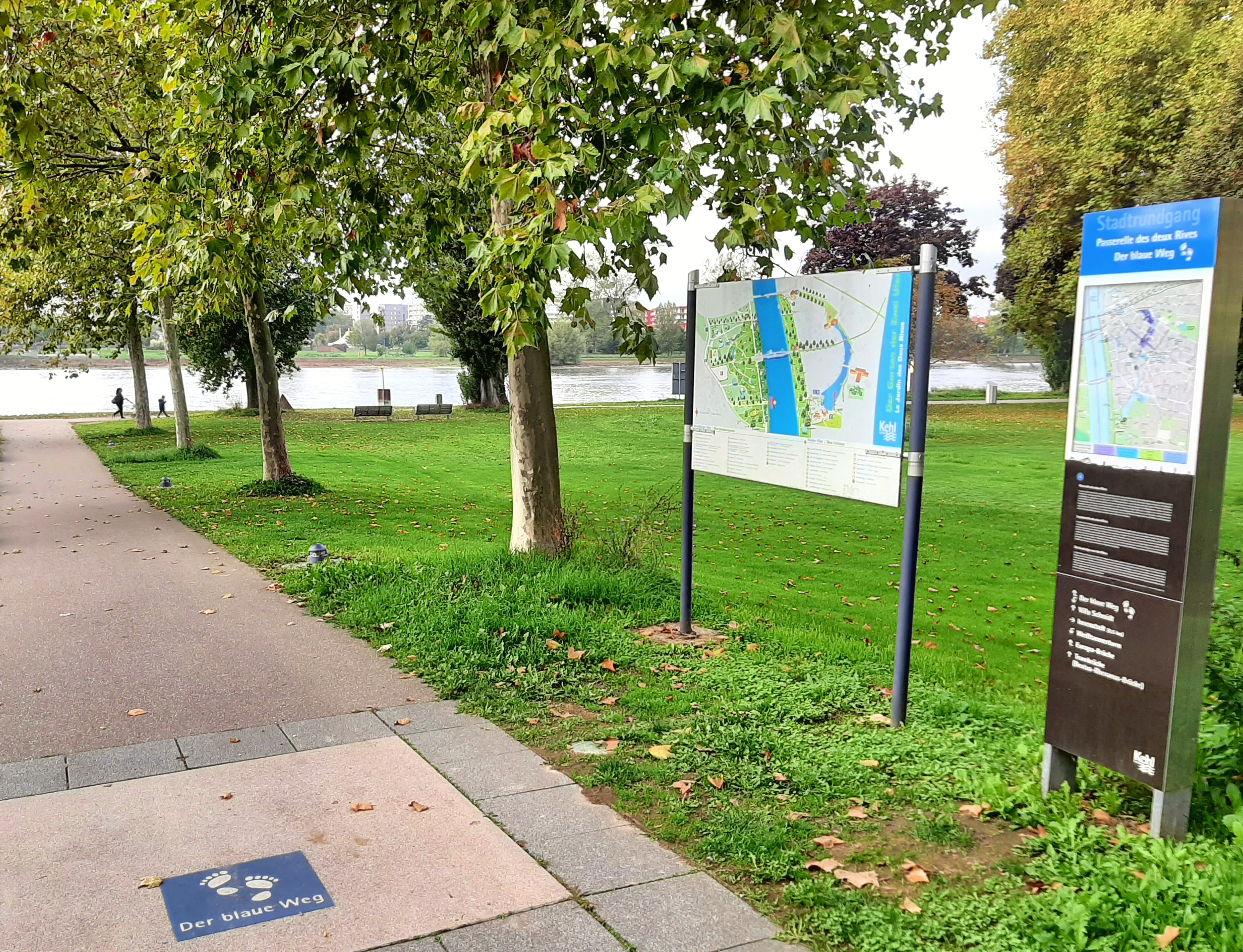
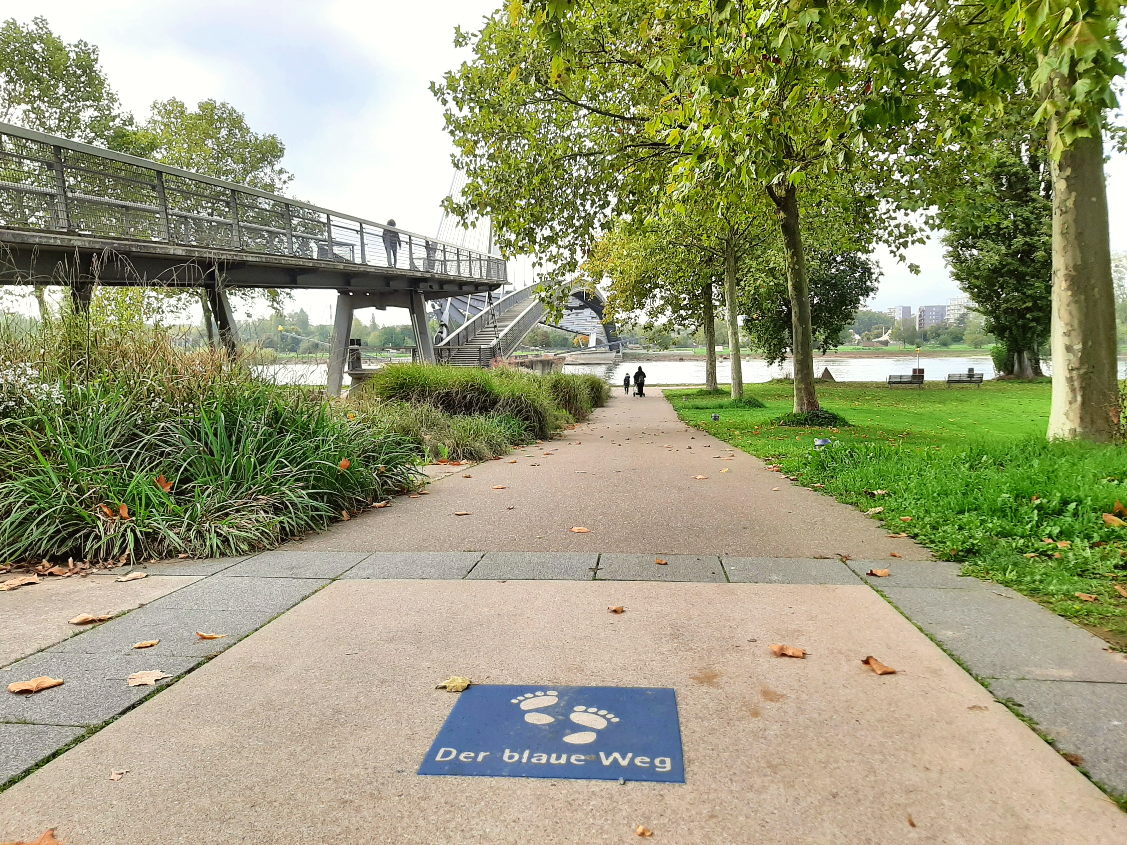
blue route (2,7 km)
Take a sightseeing walk and learn more about the history of Kehl on a tour around its buildings, monuments and churches. There are six signboards and footprints guiding the way towards the river Rhine and Old Rhine. Information about the markings on Der blaue Weg blue route and two other circular routes is contained in a leaflet available from the tourist information office.
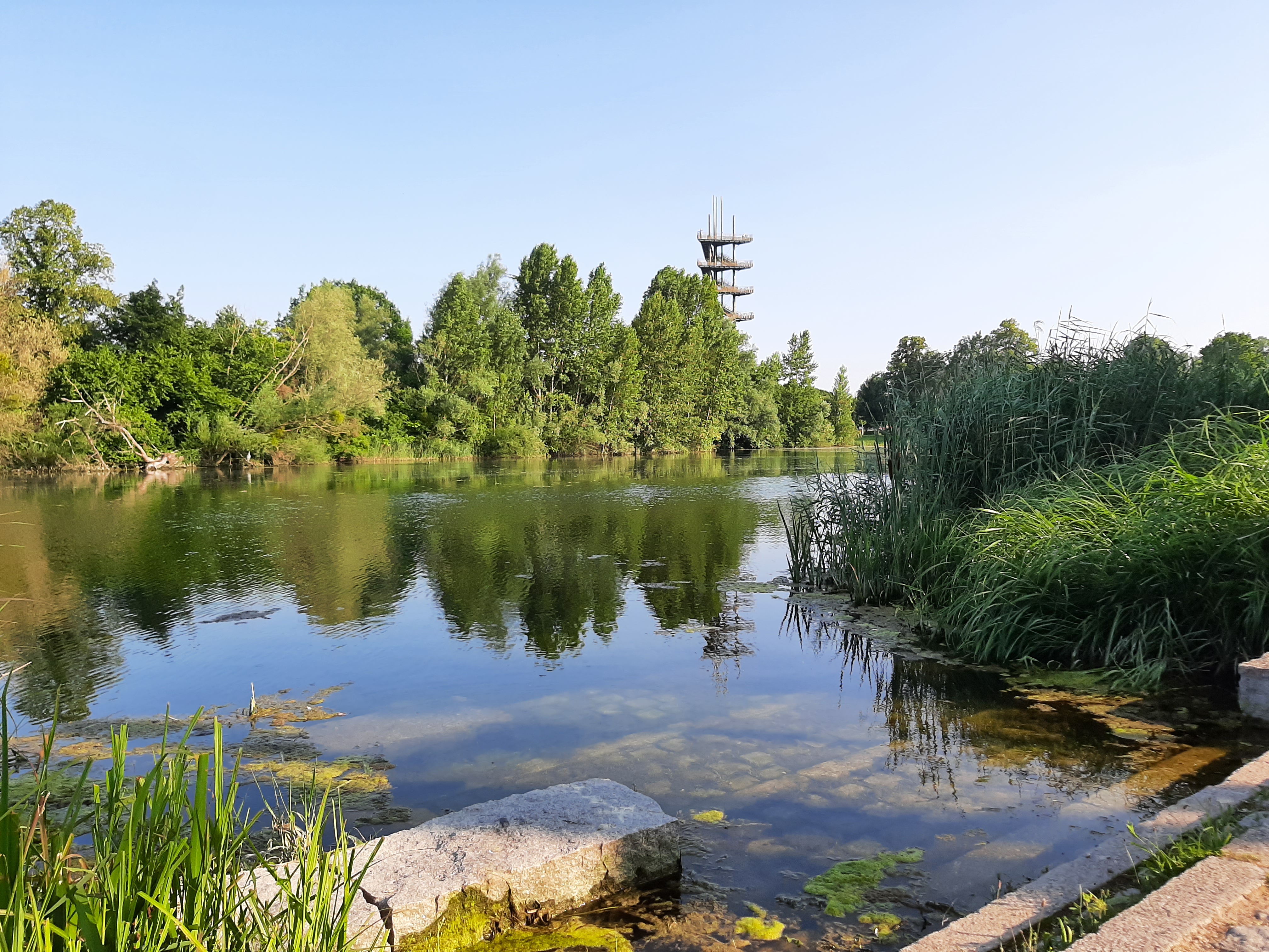
The Silver Fir Tower will remain closed until further notice. This is due to defects discovered during the main inspection. (Status: December 11, 2025)
See the city administration's press release (in german language) for further background information.

Walking tour Kehl am Rhein
Tracing the changeable and eventful history of the city of Kehl

Tip for familys: mystery walks in Kehl
Only available in German and French!
Walk through Kehl and have fun on the way!
Take the whole family on a tour with a difference, walking through the town to the Garten der zwei Ufer Two Shores Garden.
Collect clues to the mystery at eight stations and solve the riddles. Pay close attention to details!
The booklet is suitable for all children, with riddles designed for three different age groups (4-6 years, 7-9 years and 10 years and above).
Distance: 3.5km
Duration: 1h45
Gestaltung: Randoland in Zusammenarbeit mit der Tourist-Information Kehl
Design : Randoland, randoland.fr
Stand: 2022
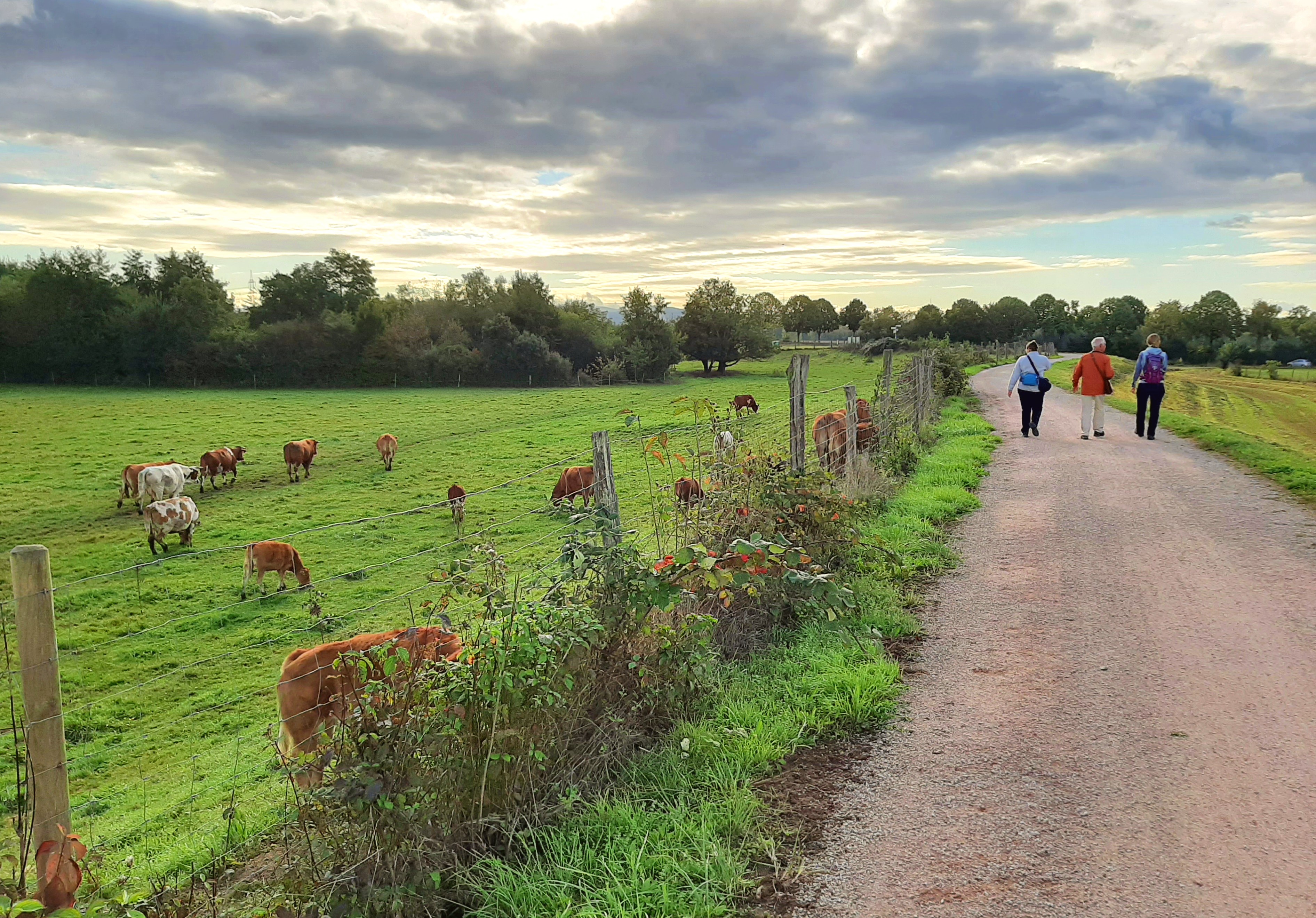
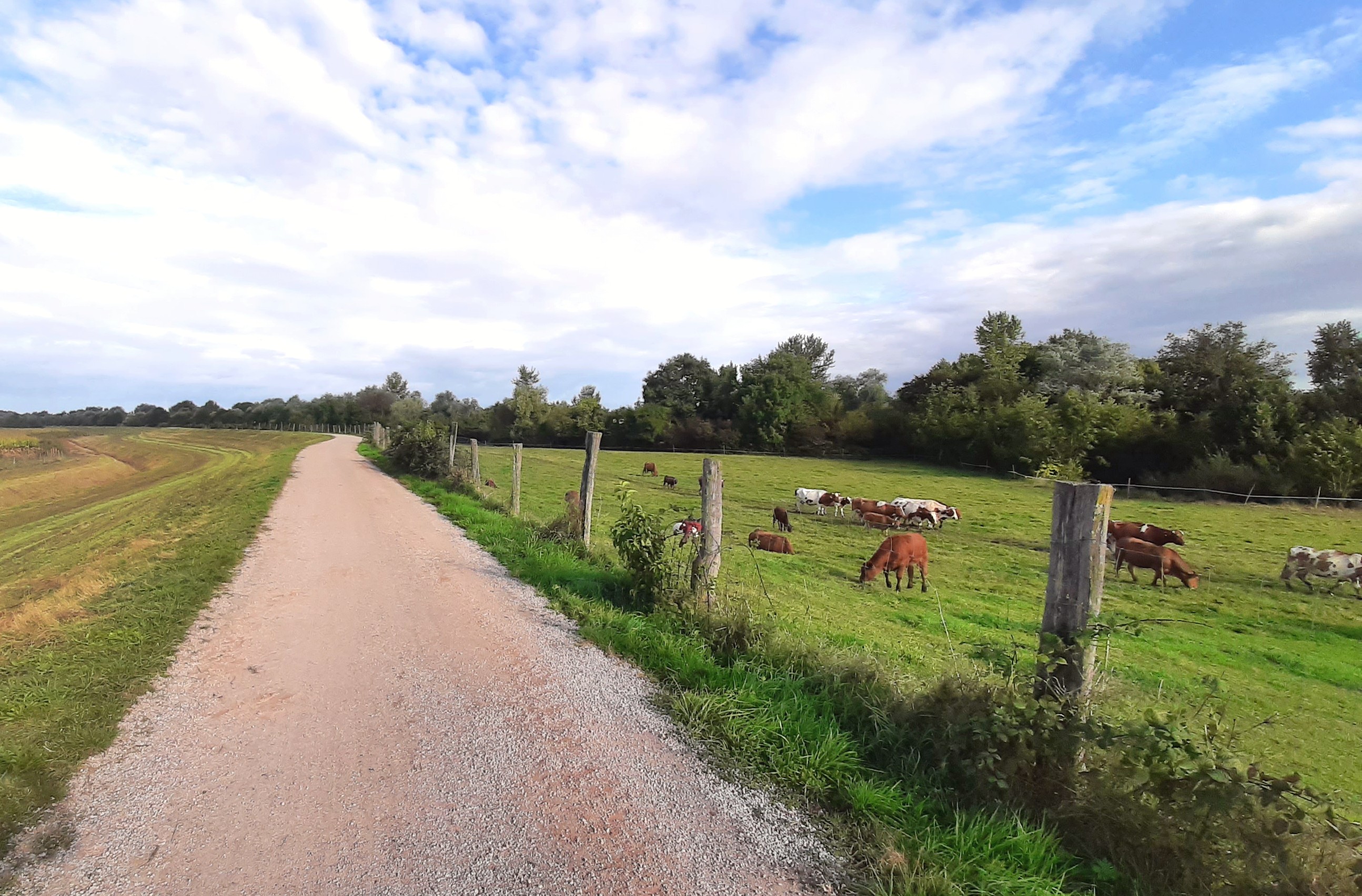
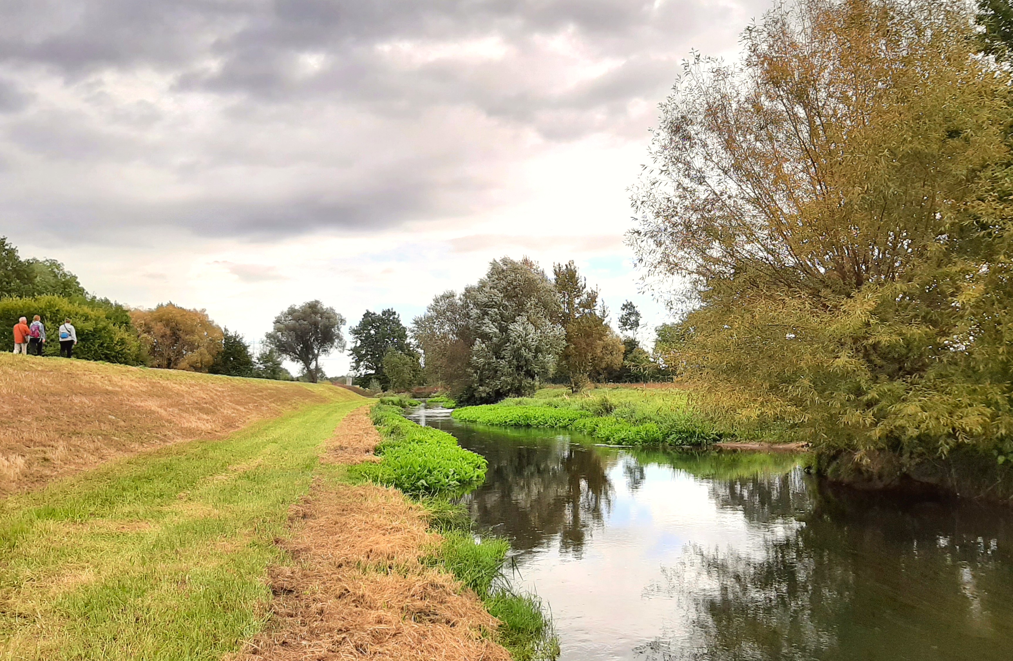
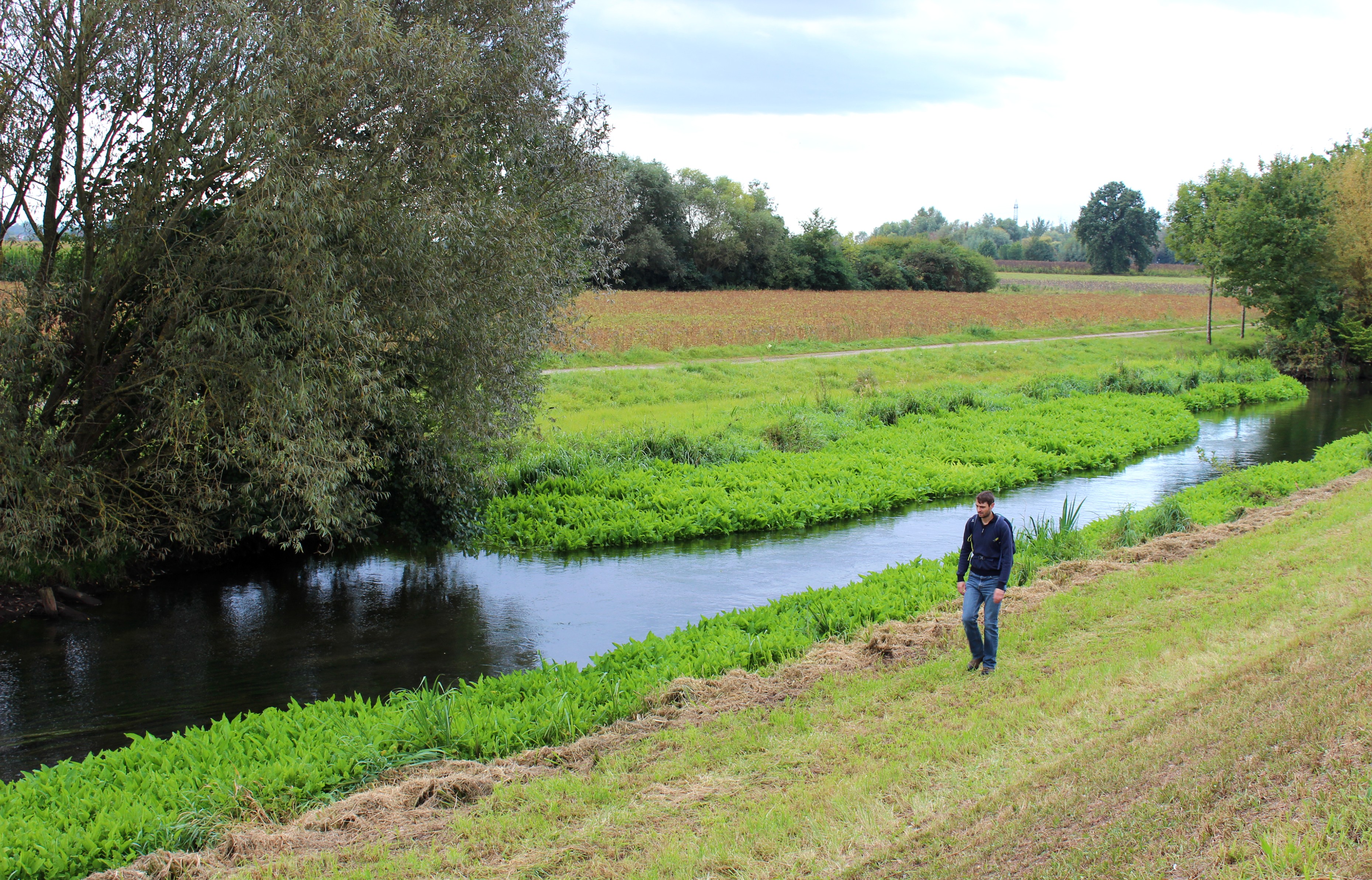
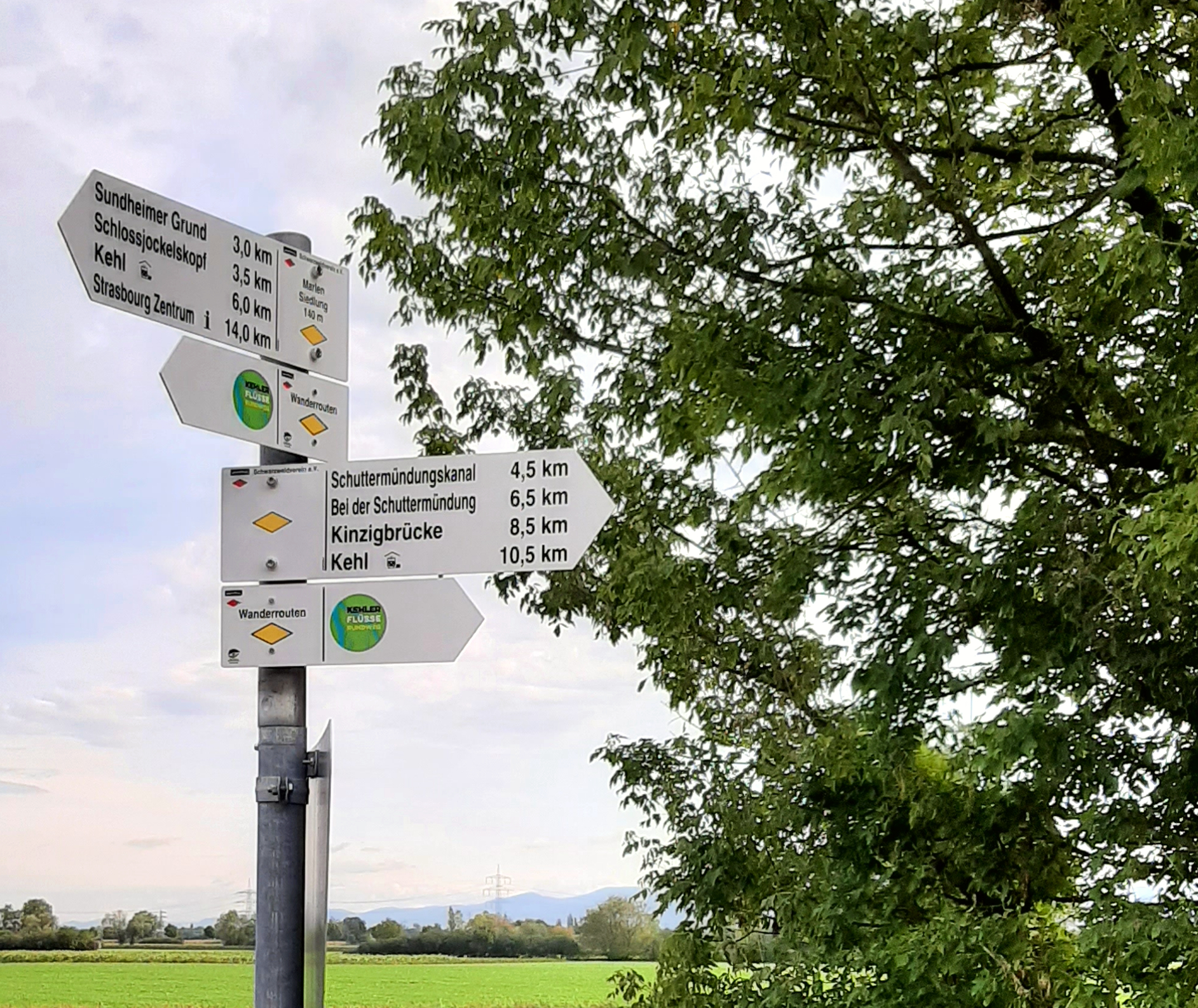
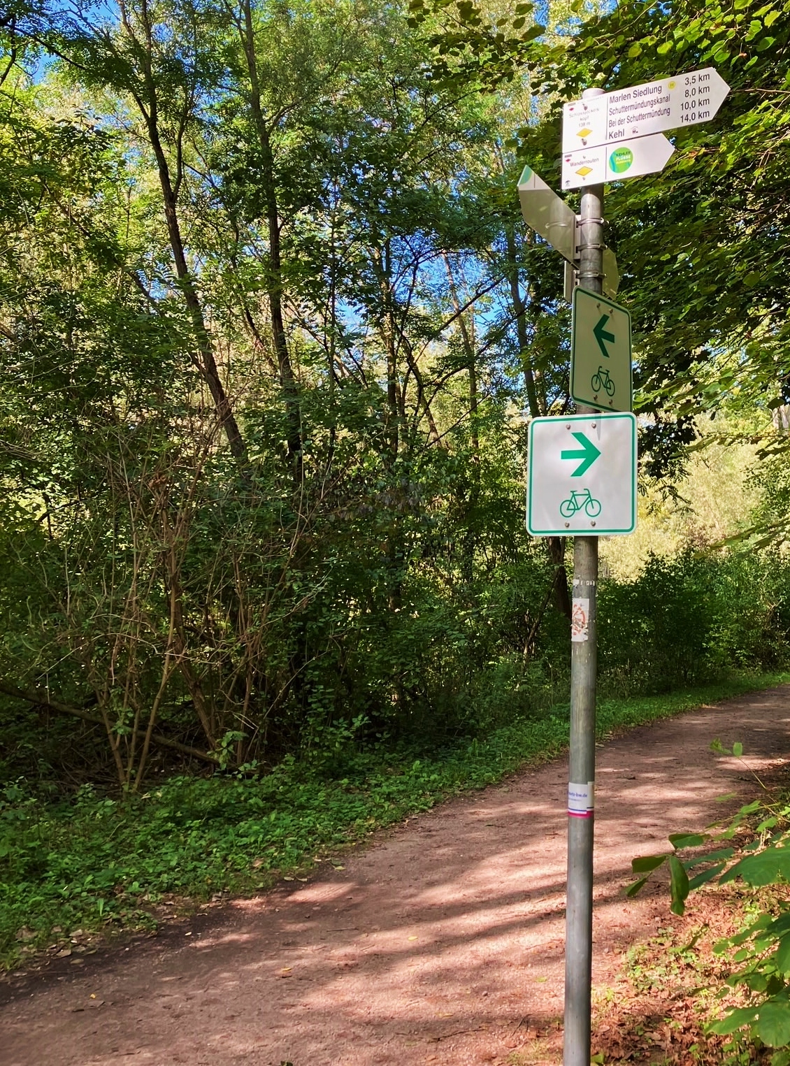
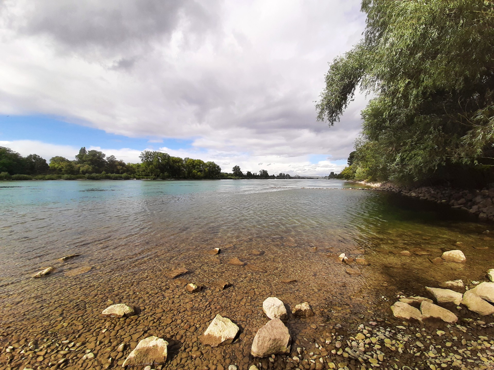
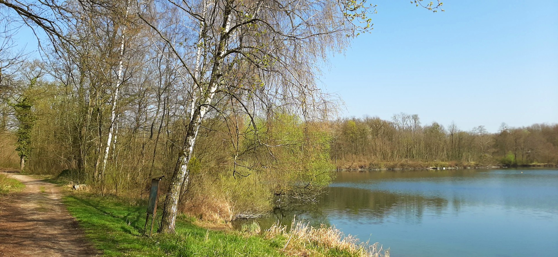
circular river route in Kehl (16 km)
Town and country side by side!
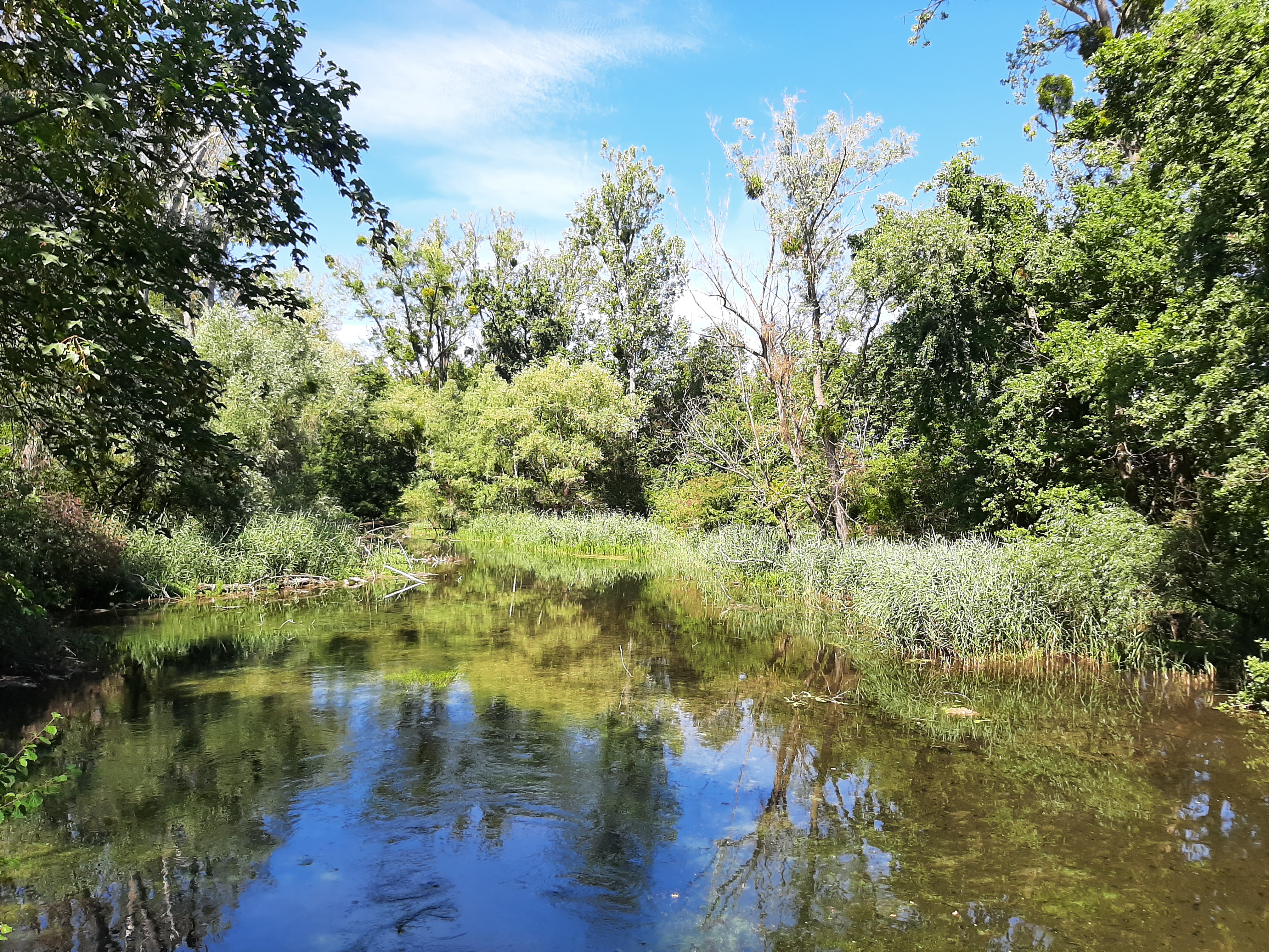
Take a ramble through the unspoilt natural landscapes around Kehl and follow the rivers and streams surrounding the town.
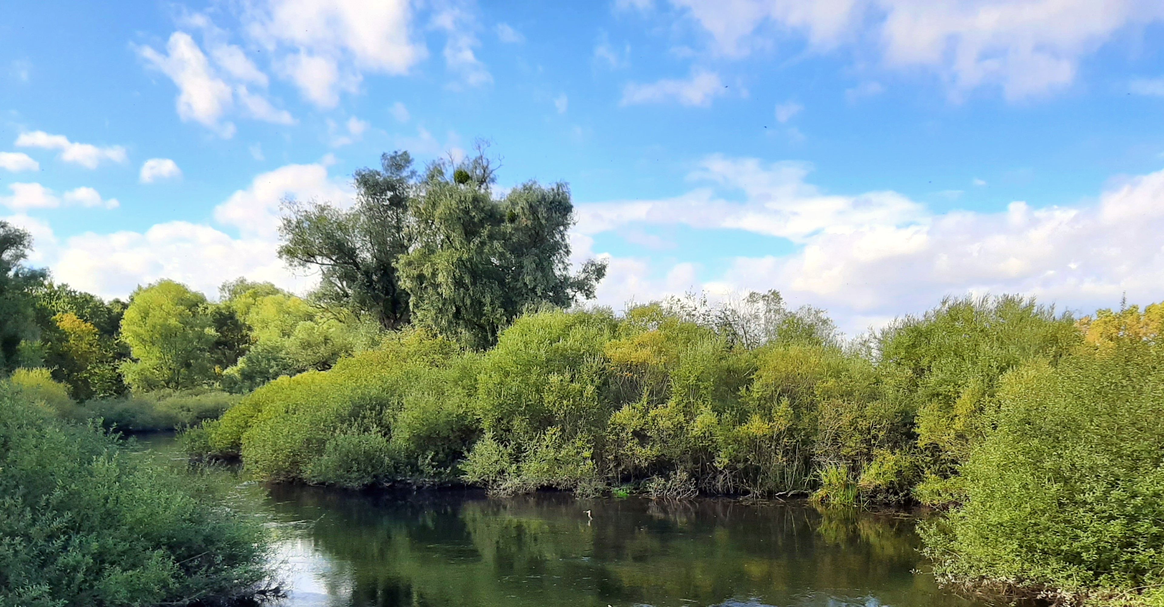
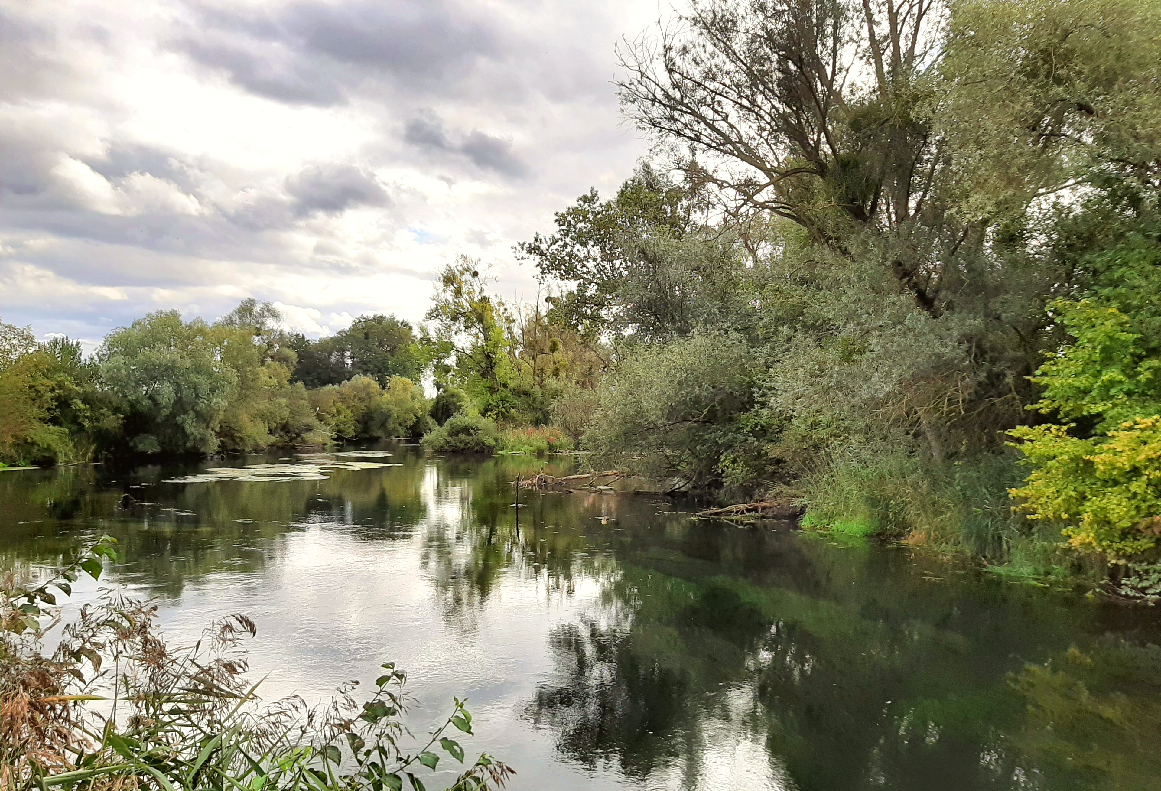
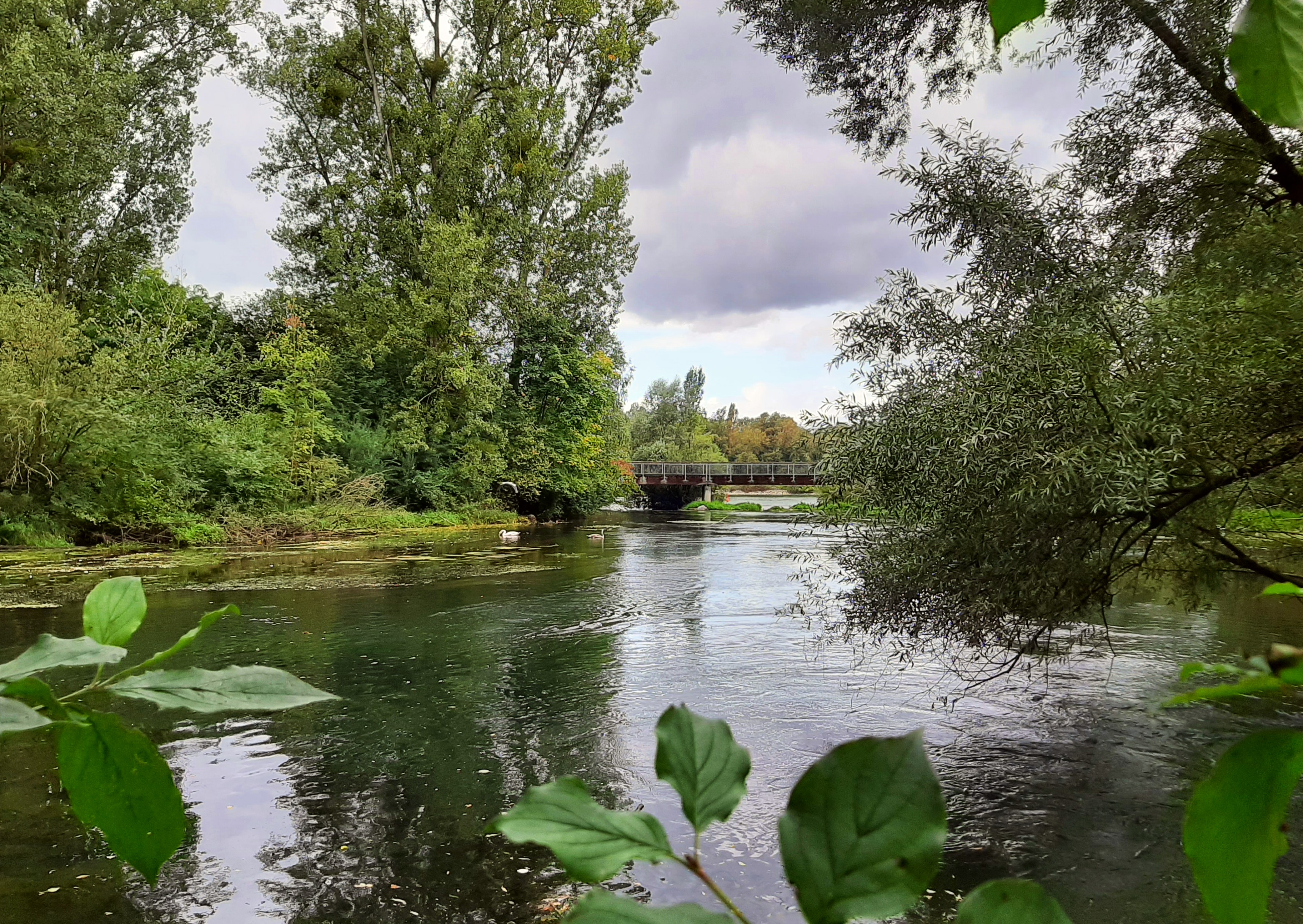
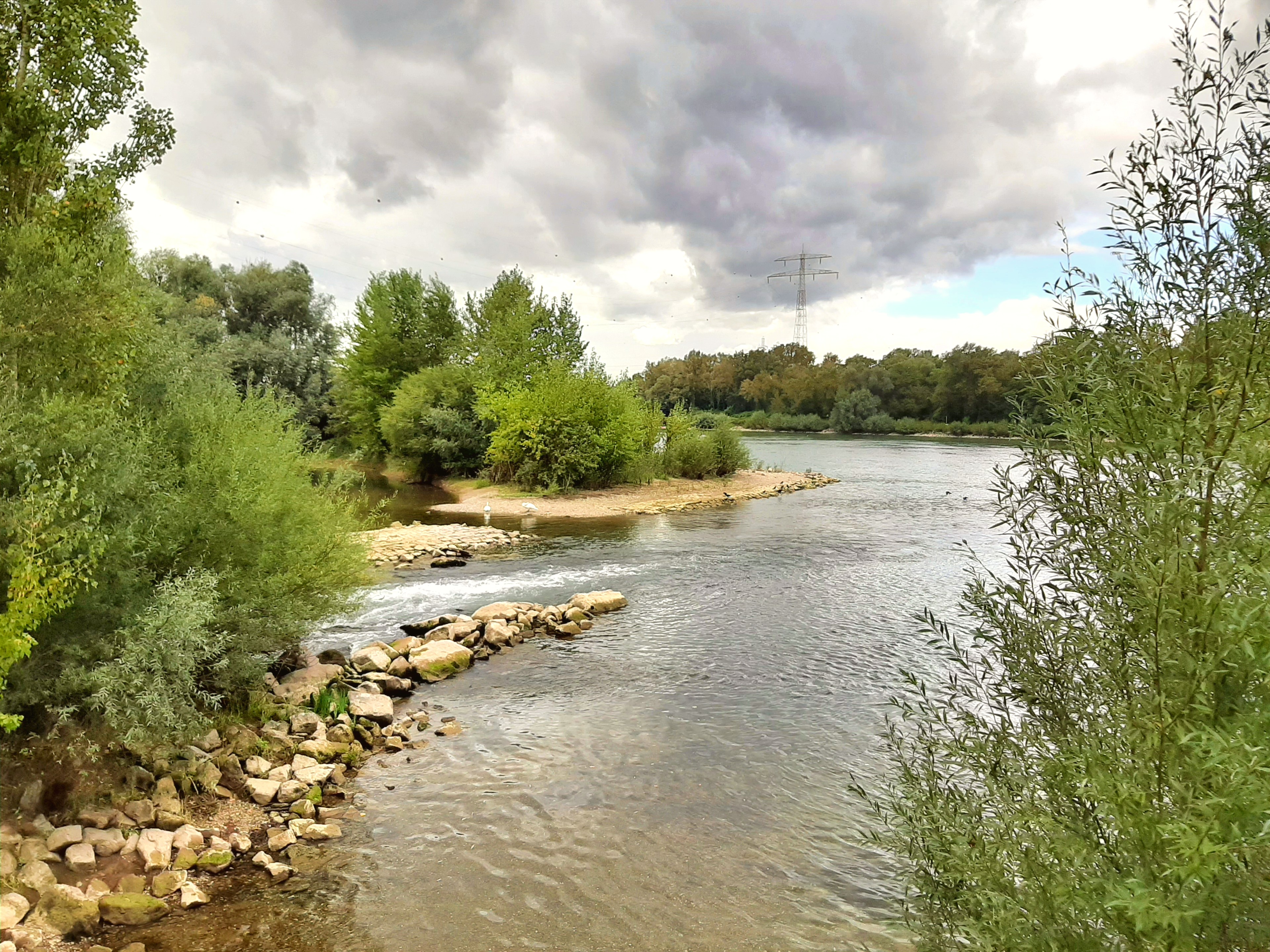
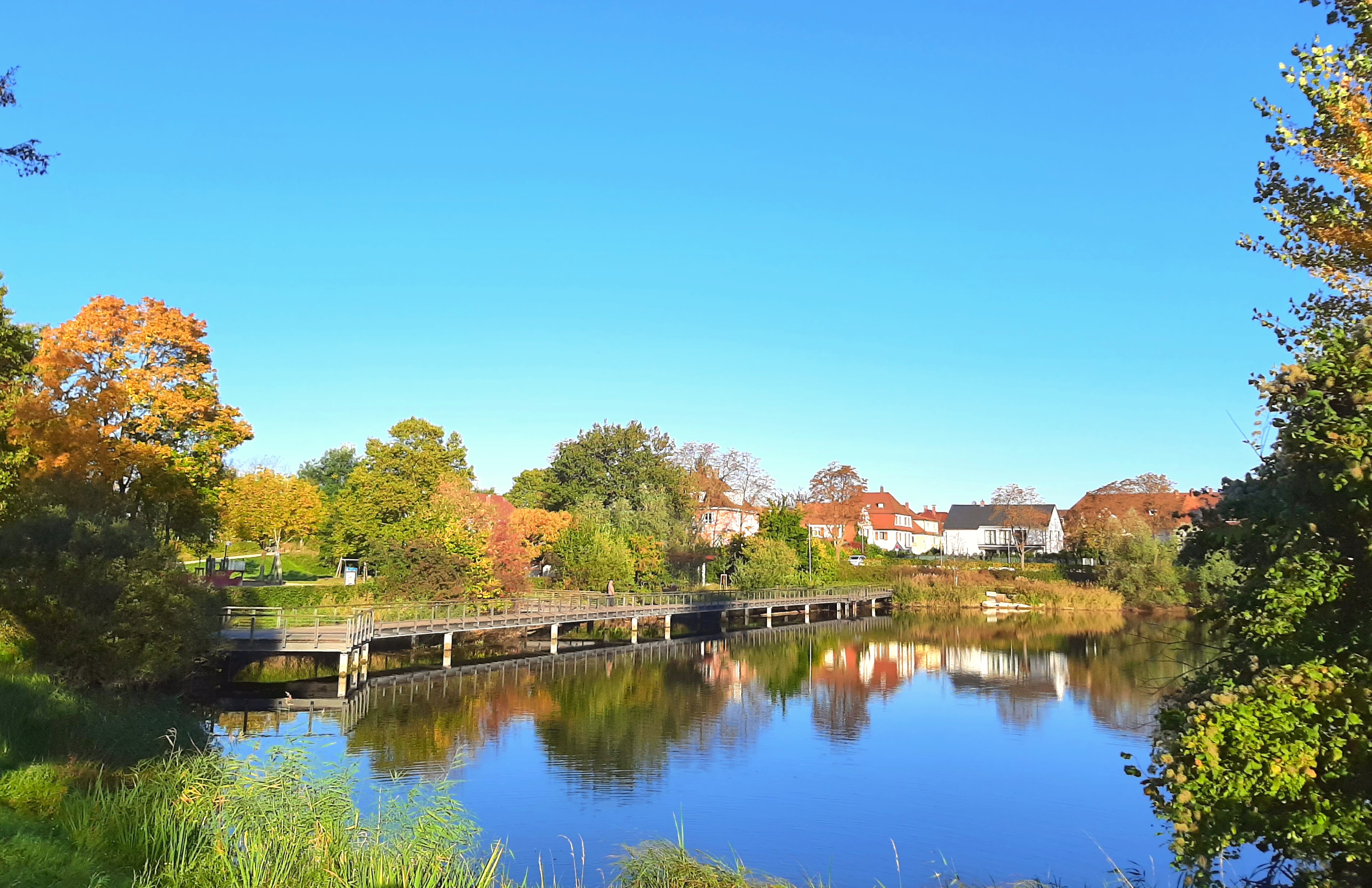
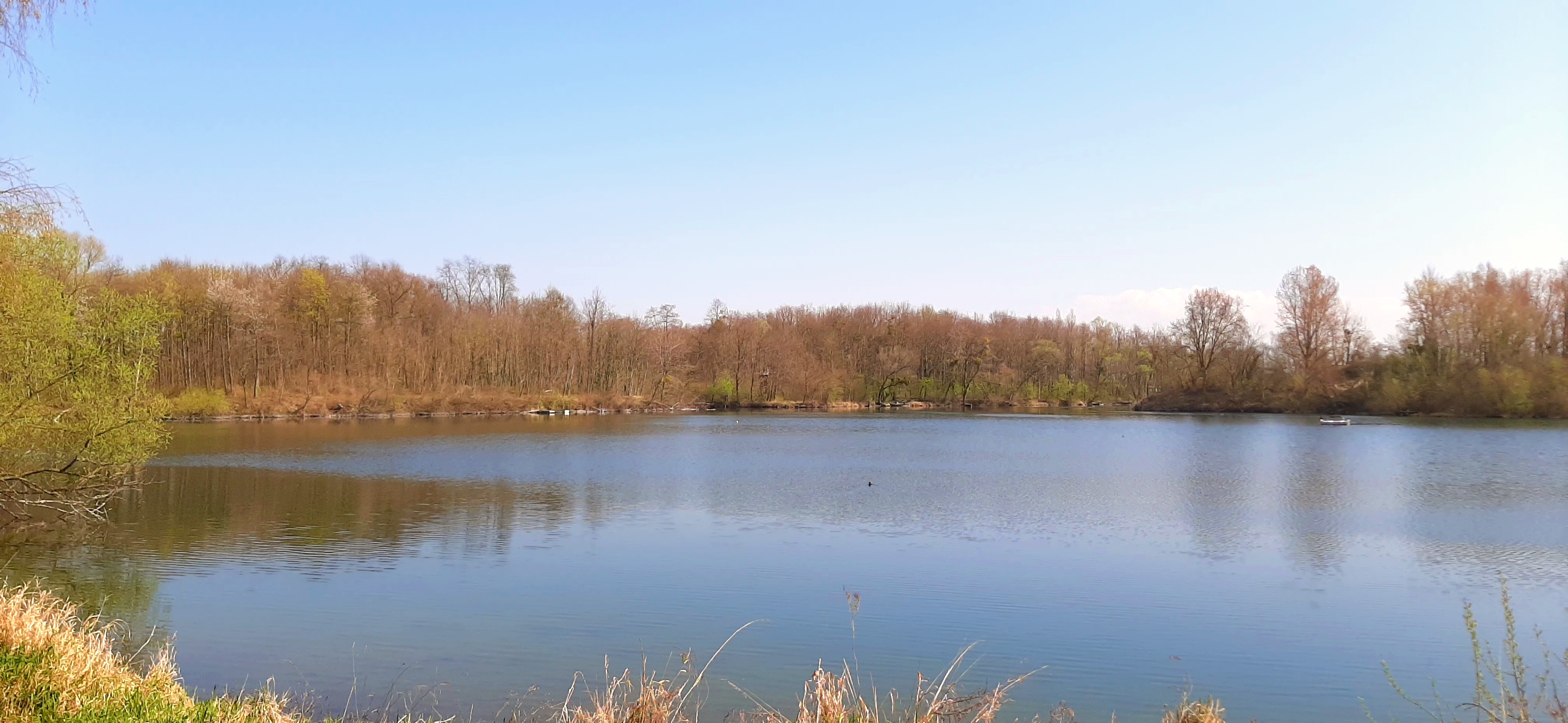
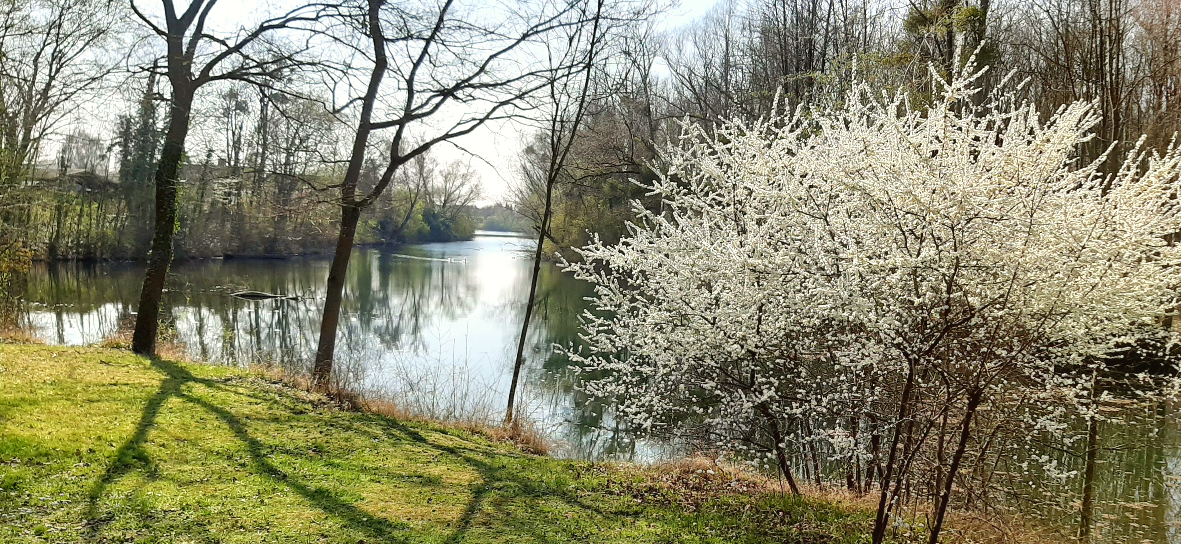
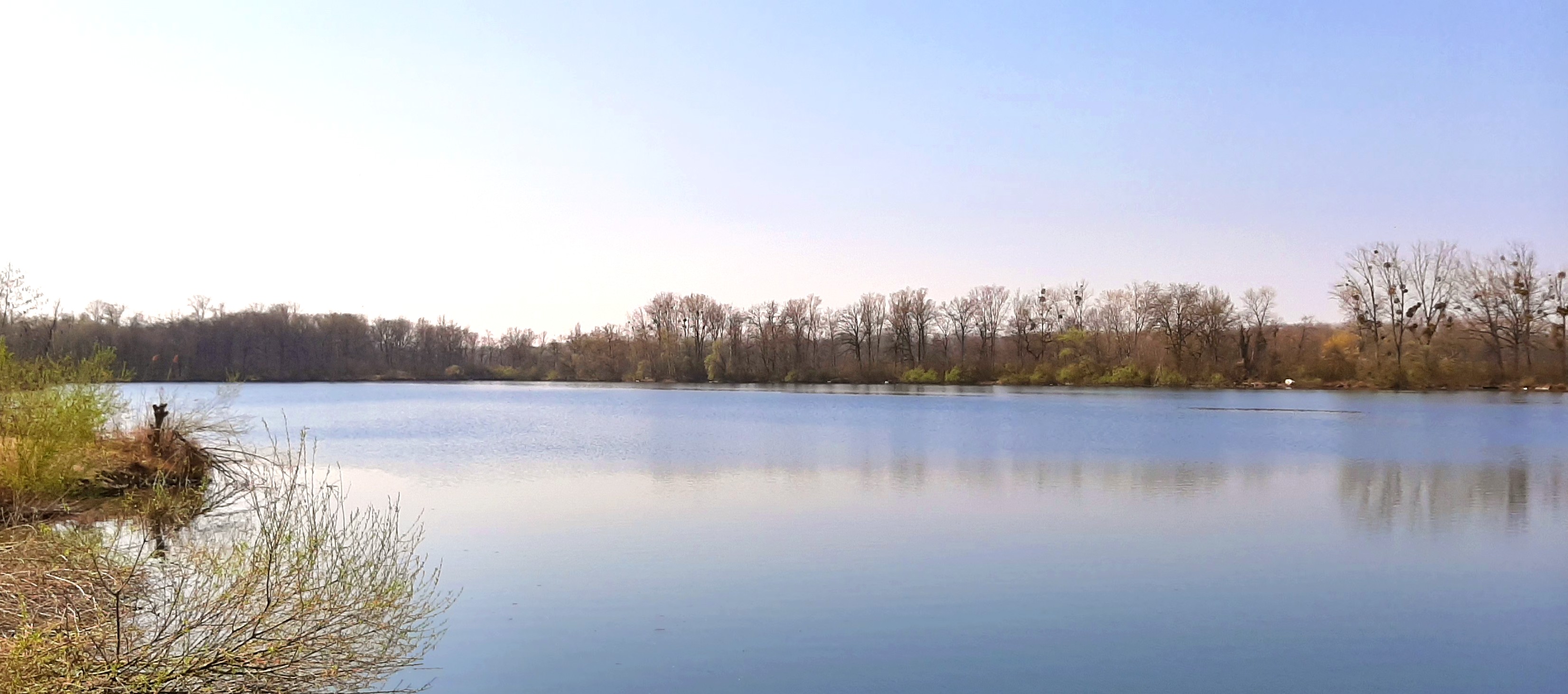
There is always a clear view of the Black Forest from the river Kinzig dam. The route continues on the bank of the little river Schutter through the districts of Willstätt and Eckartsweier. Stop to marvel at the enchanting spectacle put on by the fauna and flora between the various branches of the Old Rhine in the heart of the “Sundheimer Grund” nature reserve.
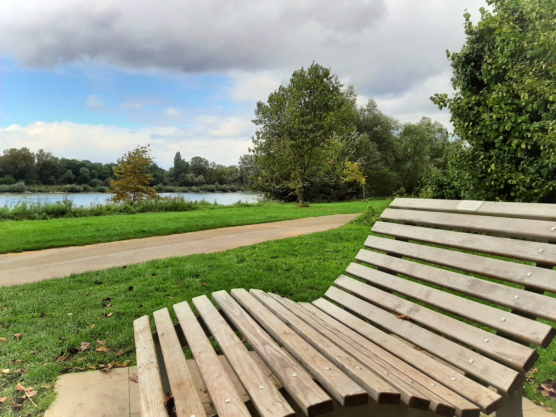
The circular route finally reaches the Rhine and runs along the river to the Garten der Zwei Ufer Two Shores Garden. Take in the sight of the Passerelle des Deux Rives bridge, which connects the two sides of this cross-border park, and the Weißtannenturm white fir tower. Walk along the Old Rhine to the Rosengarten rose garden to get back to the town centre.
Start/finish: Hochschule Kehl Kehl University (Kinzigallee/Großherzog-Friedrich-Straße intersection)
Shortcut: Option of shortening the walk halfway round at the intersection with the L75 road (“Marlen Siedlung” bus stop on bus route 301/106).
link to the circula river route in Outdooractive (in german)

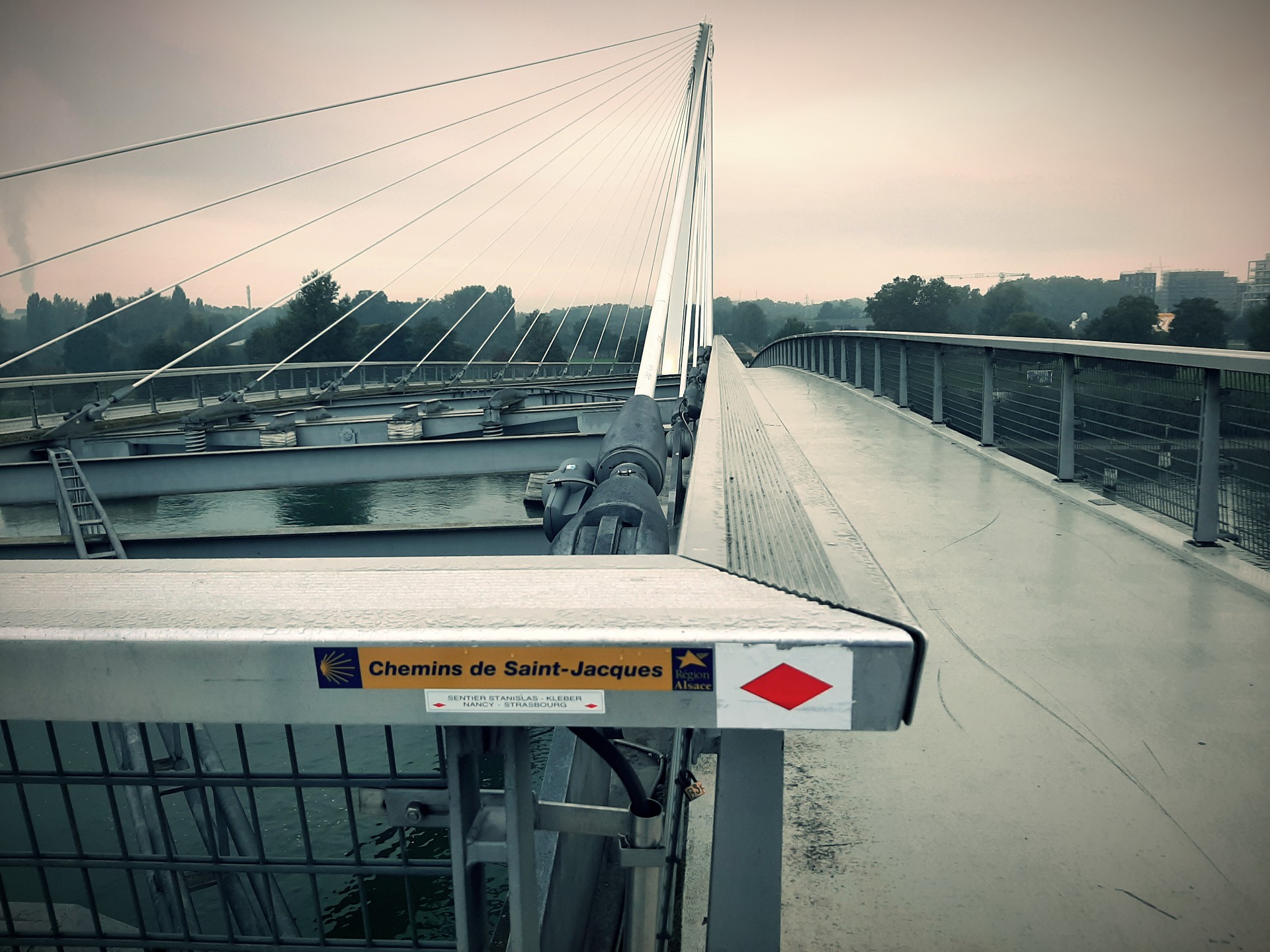
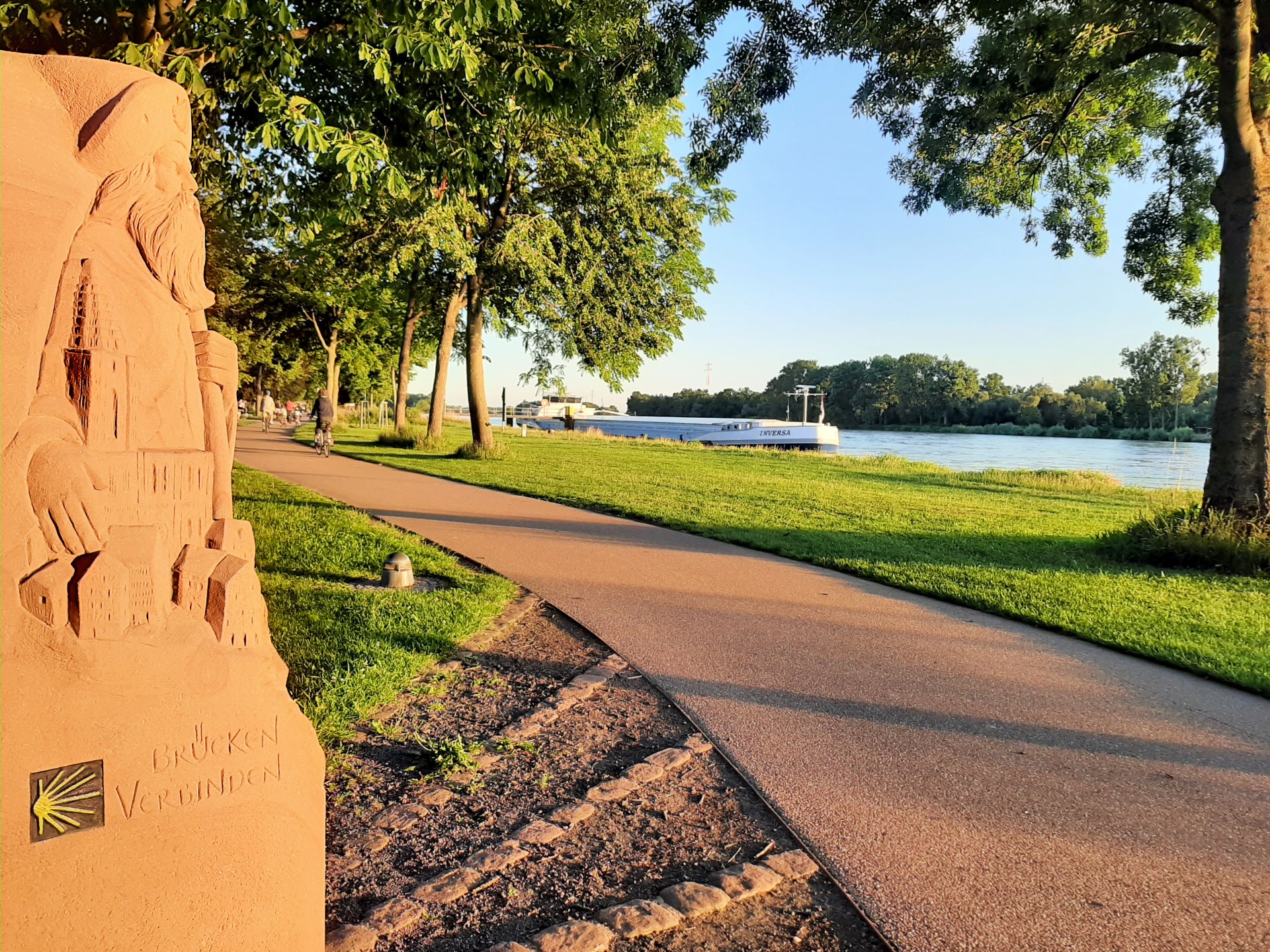
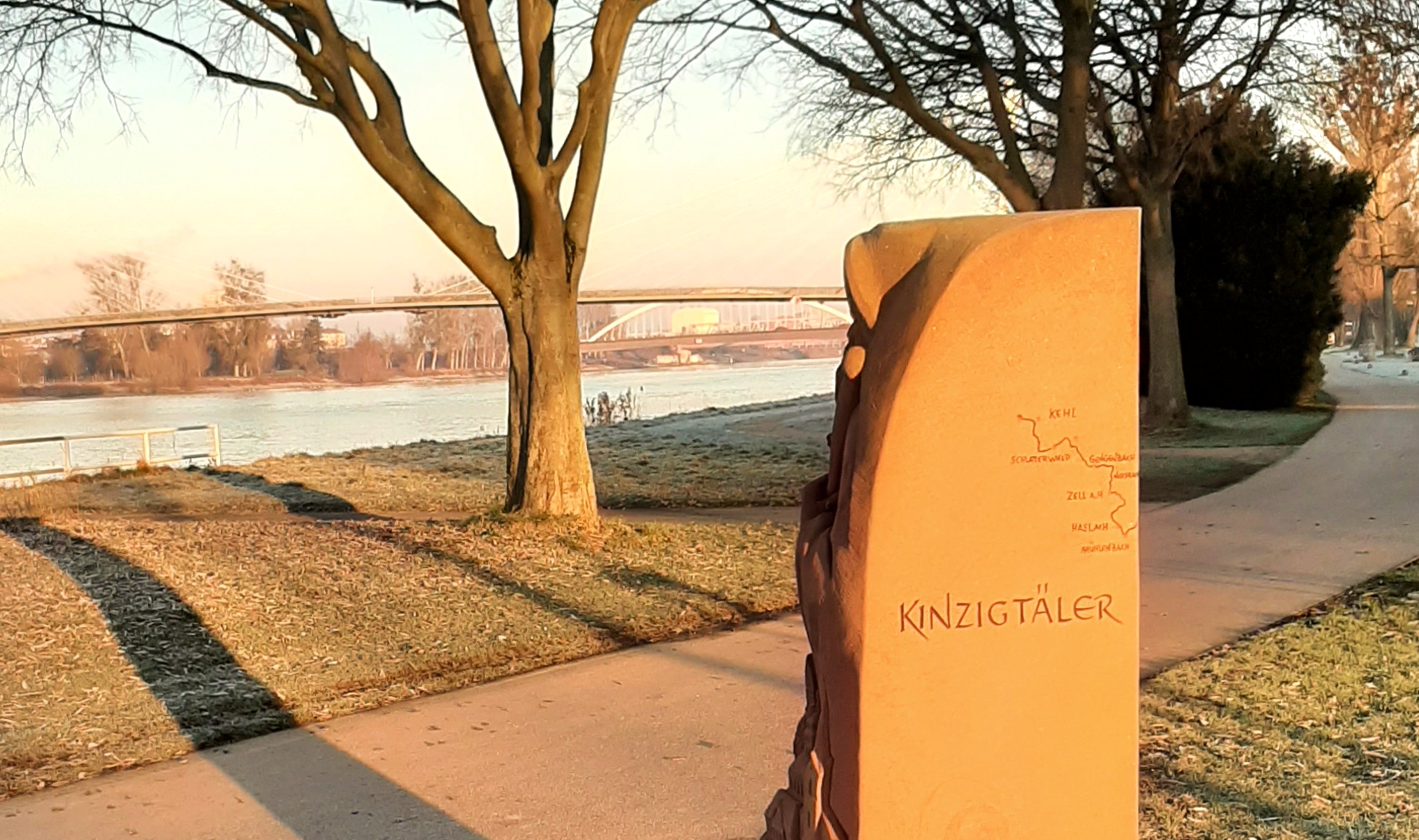
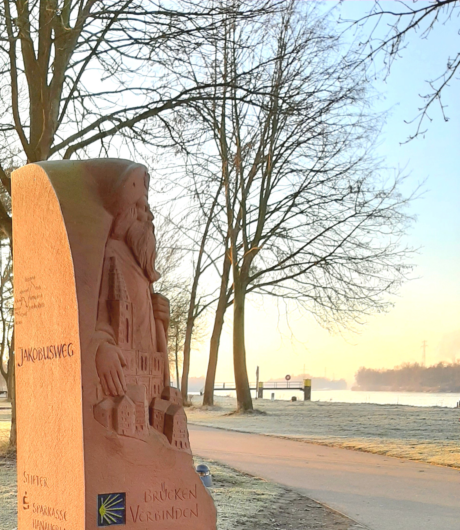
Valley Way of St James (section 7: 22 km)
Pilgrimage from the Black Forest to the Rhine

Pilgrims start in Loßburg near Freudenstadt and walk to Kehl in seven sections, covering the total distance of around 140 kilometres.
The seventh and final section from Schutterwald is flat.
The route goes through alluvial forests by the Rhine and to the Garten der Zwei Ufer Two Shores Garden.
The Jakobusweg or Way of St James then continues over the Passerelle des Deux Rives bridge, bringing the pilgrims to the point of connection to the Way of St James in Alsace and to the cathedral in Strasbourg.
Section 7:
Start: St. Jakobus Kirche church, Schutterwald
Finish: Jakobusstein milestone in the Garten der Zwei Ufer Two Shores Garden, Kehl
tot the valley way of St James (in german)

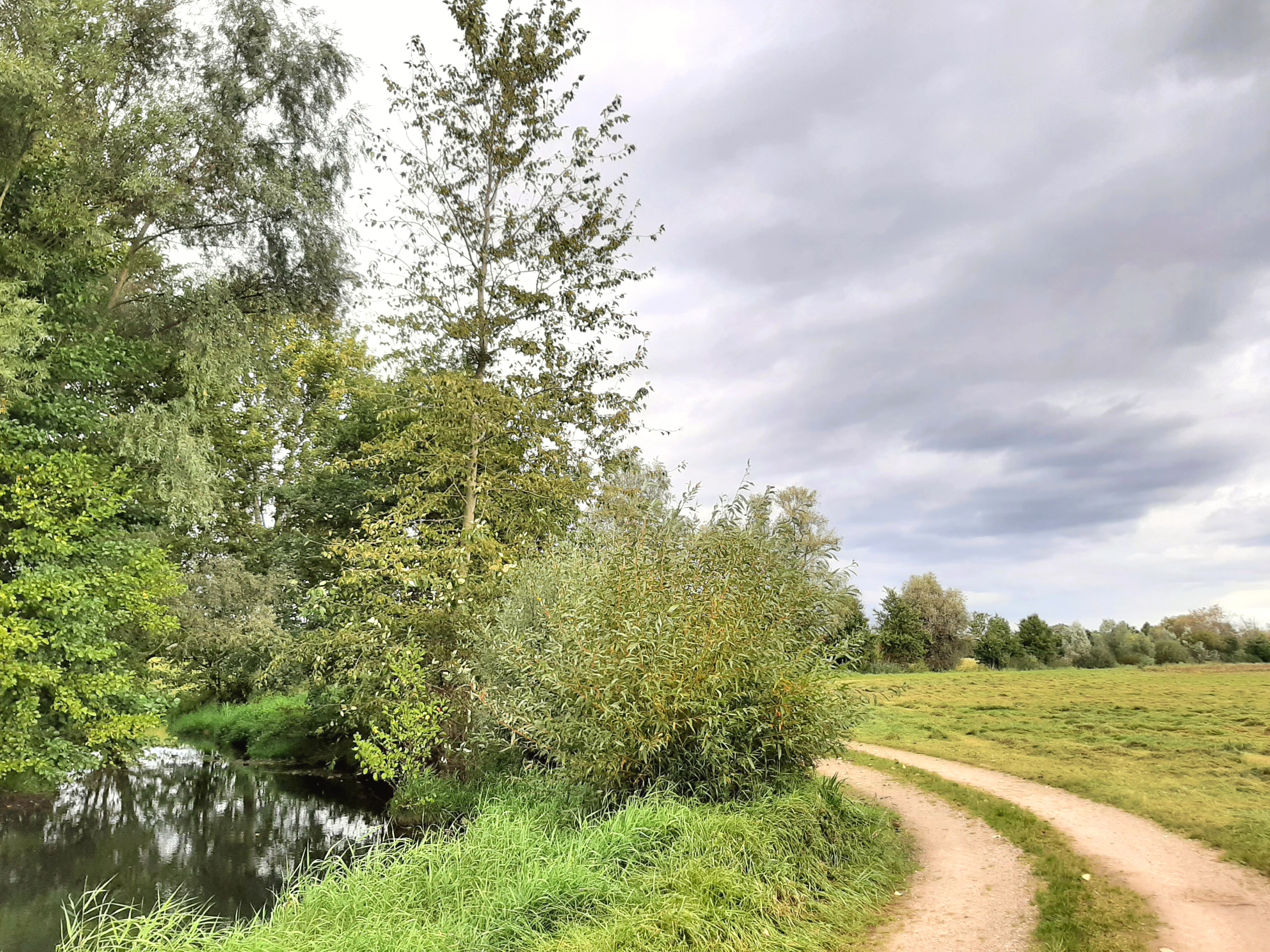
Other hiking trails in the region (9 to 160 km)
circular trail on "Waldbrief" legend theme (13,5 km)
One of the 32 circular trails in the Ortenau district on legend themes
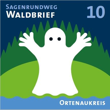
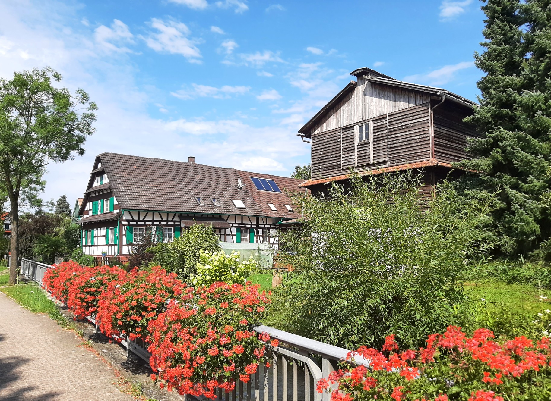
The hiking route is paved and goes through the forest in Kork, with a wide and diverse range of deciduous trees and plenty of little streams and babbling brooks along the way.
It is also suitable for a long walk or stroll.
Start/finish: Rathaus Legelshurst Legelshurst town hall, Willstätt
Link to "Waldbrief" circular trail on legend theme (in german)
hiking trail Kehl - Freistett (18 km)
Through the diverse landscape of the Rhine flood plains

This trail goes through parts of the Rhine alluvial forest amid the varying vegetation of the flood plains and to the banks of the branches of the Old Rhine from Auenheim to Freistett.
Stop along the way to admire the abundance of flora and fauna in the northern part of the Hanauerland region.
Start: Auenheim Kirche church, Kehl
Finish: Heidenkirchel church in Freistett, Rheinau
Link to hiking trail Kehl - Freistett in Outdooractive


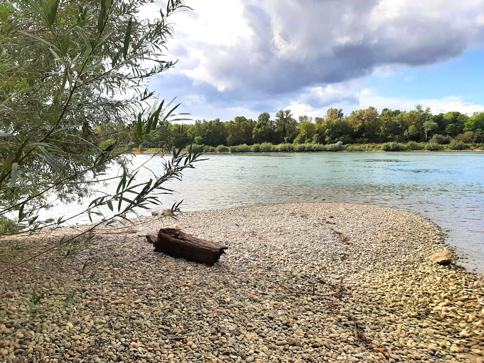
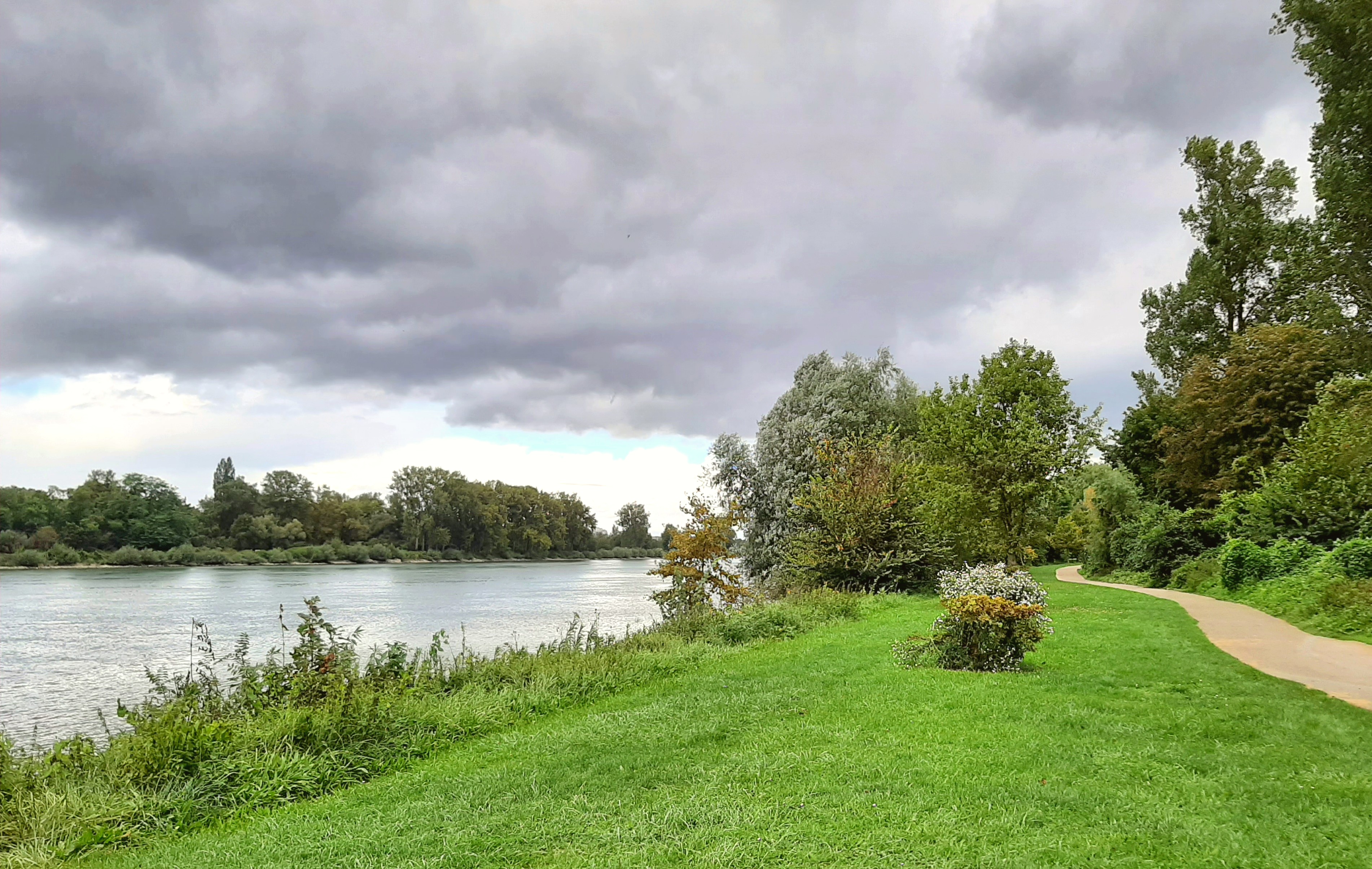
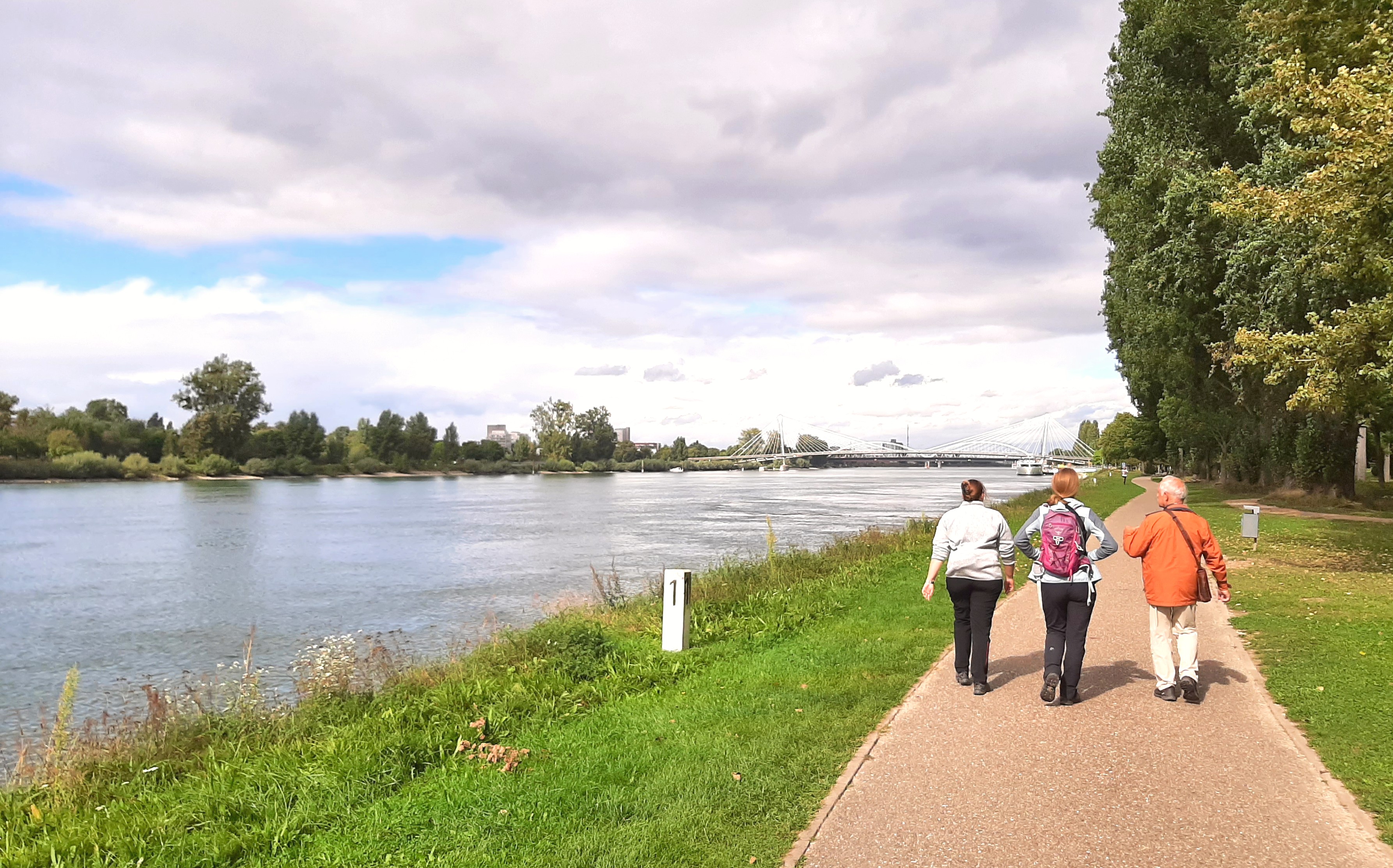
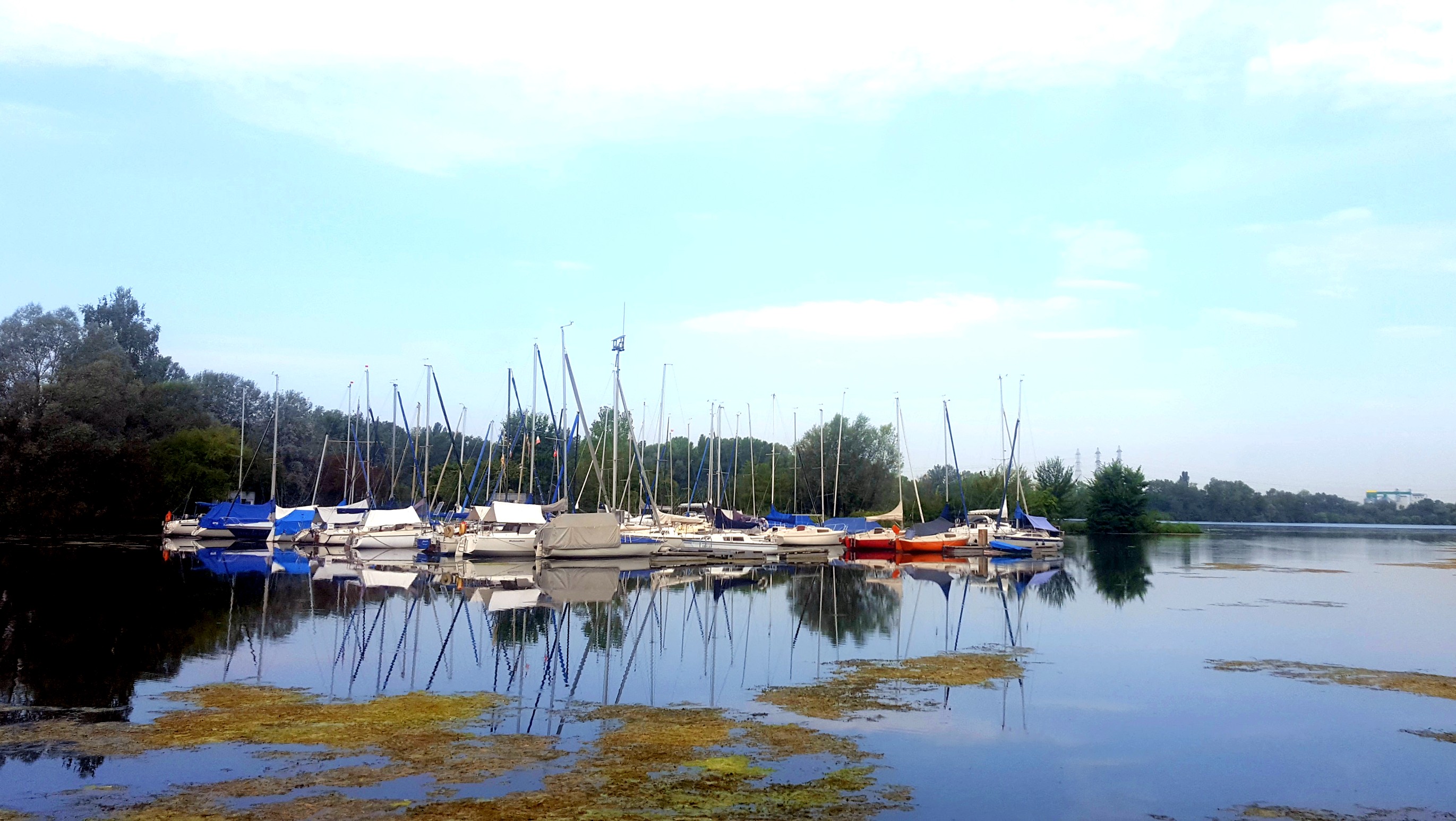
Rhine wetlands trail (section 1: 23 km)
Along the Rhine all the way
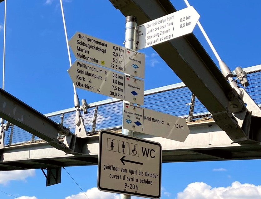
Discover the Garten der Zwei Ufer Two Shores Garden in Kehl. Admire the Passerelle des Deux Rives bridge as it arches majestically over the Rhine. The route continues along the river to the little marina in Marlen.
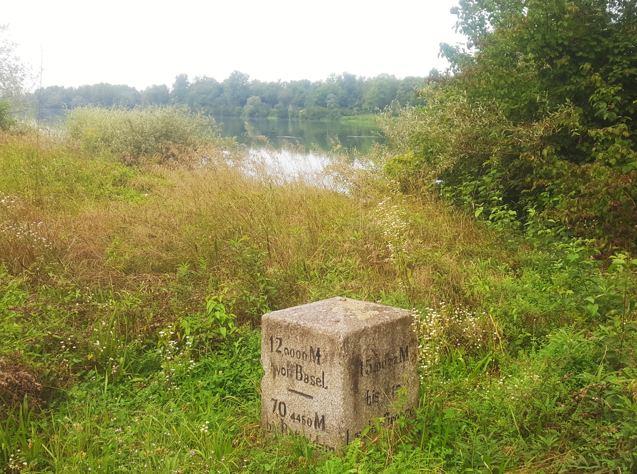
You might see a few old milestones along the way marking the number of kilometres. They are called “Tulla” markers after the famous engineer Tulla who straightened the Rhine.
Downstream of Goldscheuer the path leads right into the heart of the alluvial forest and meanders alongside the Old Rhine.
Start: Bahnhof Kehl Kehl railway station
Finish: Bahnhof Weil am Rhein Weil am Rhein railway station
Distance: 160km (7 sections)
Section 1:
Start: Bahnhof Kehl Kehl railway station
Finish: Kirche Meißenheim church
Note: The Rheinaueweg Rhine wetlands trail is often also spelt Rheinauenweg in documents. The signposts on the path do, however, say “Rheinaueweg”.
Link to Rhine wetlands trail in Outdooractive


Hanauer trail (31 km)
From the Hanauerland region to the Black Forest

Take a ramble through the Hanauerland landscape to the town of Oberkirch on the edge of the Black Forest.
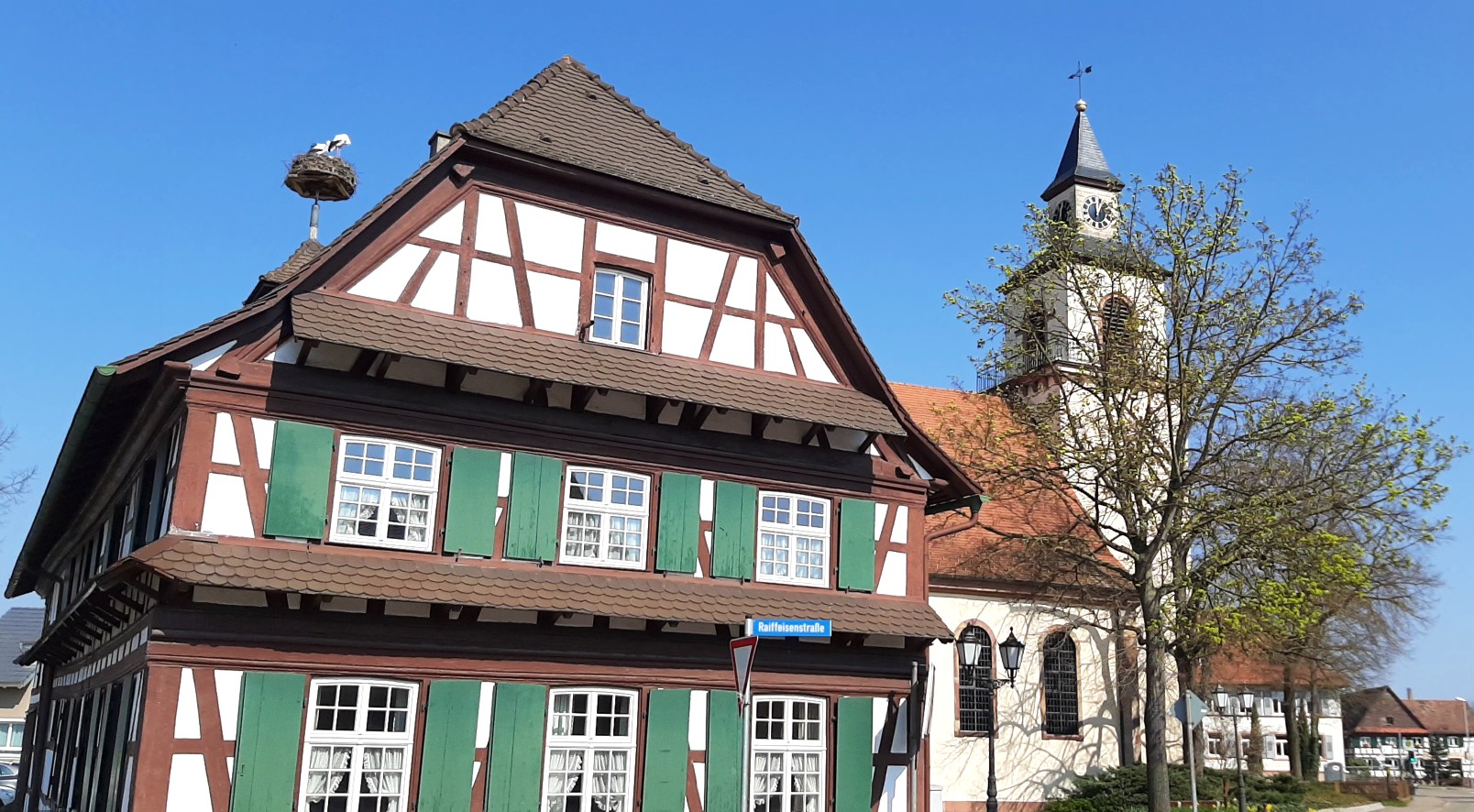
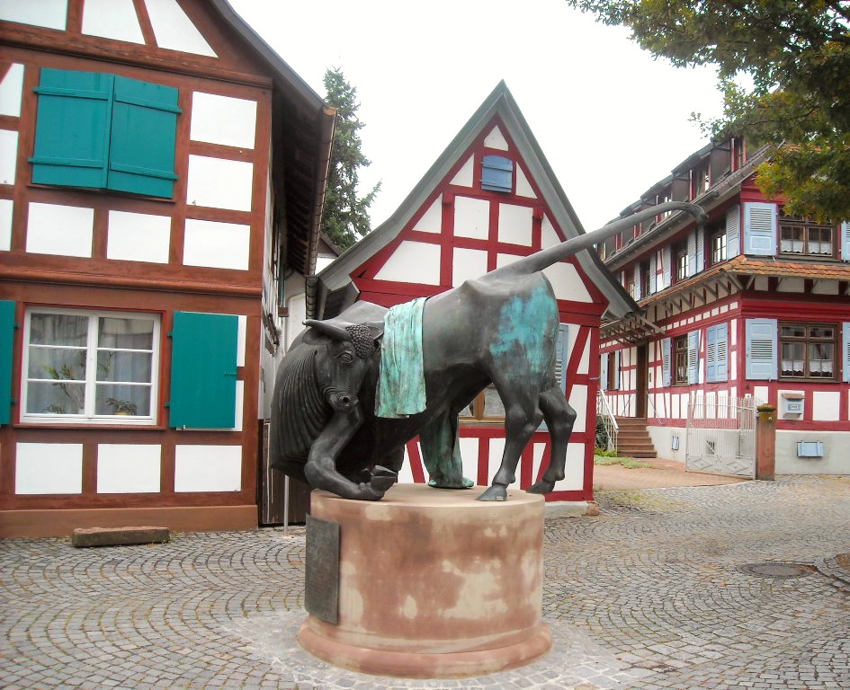
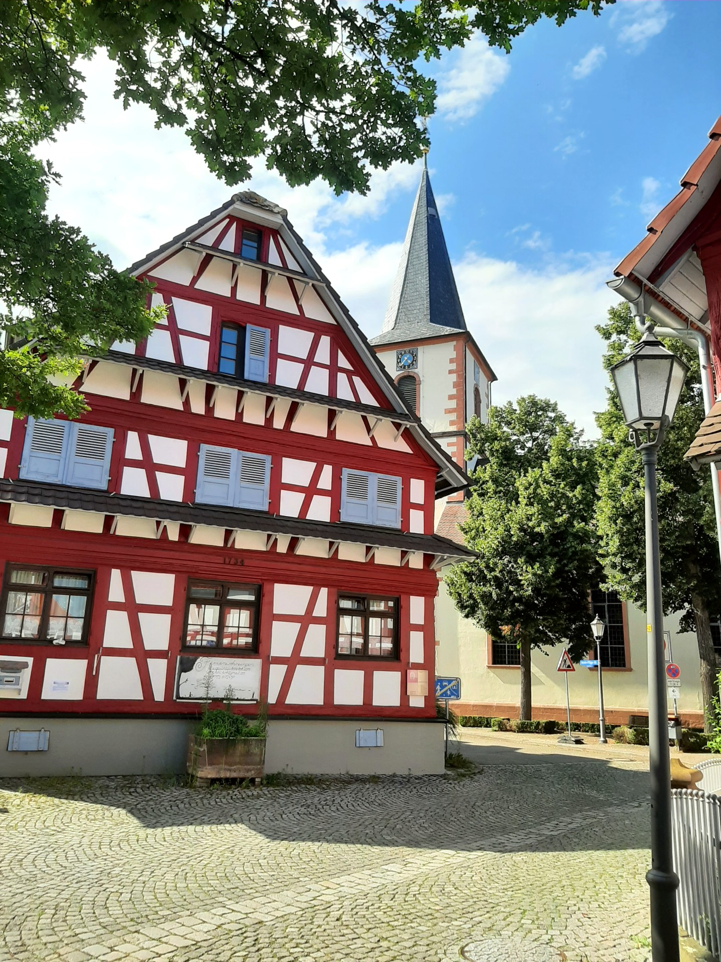
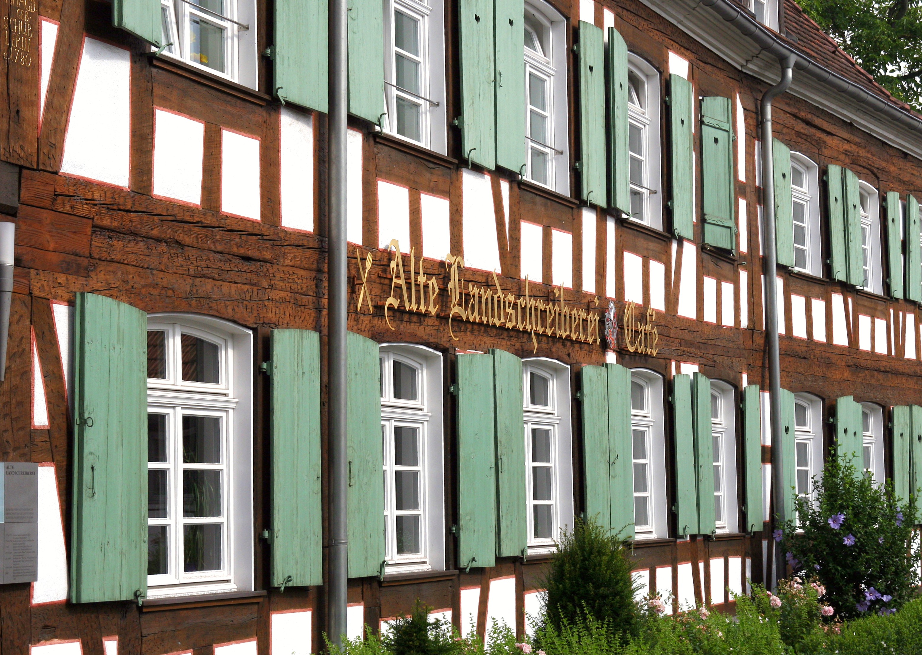
The signs at the Bahnhof Kehl railway station in Kehl point to a route circumnavigating the centre of Kehl going through the Garten der Zwei Ufer Two Shores Garden on the bank of the Rhine. Shortly after Hochschule Kehl Kehl University, you will reach the river Kinzig. Leave the town behind on the path along the Kinzig dam. Take a look round the village of Kork on the other side of the river Kinzig with its half-timbered houses and traditional restaurants. The Schloss or stately home and the historic Landschreiberei chancery building are testament to the fact that Kork was at times the administrative centre of the county of Hanau-Lichtenberg.
Set out on the trail of the Korker Stier bull of Kork in the forest of Kork. Legend has it that the bull was released into this forest to dictate the boundaries of the surrounding villages.
Start: Bahnhof Kehl Kehl railway station
Finish: Bahnhof Oberkirch Oberkirch railway station
Link to Hanauer trail in Outdooractive
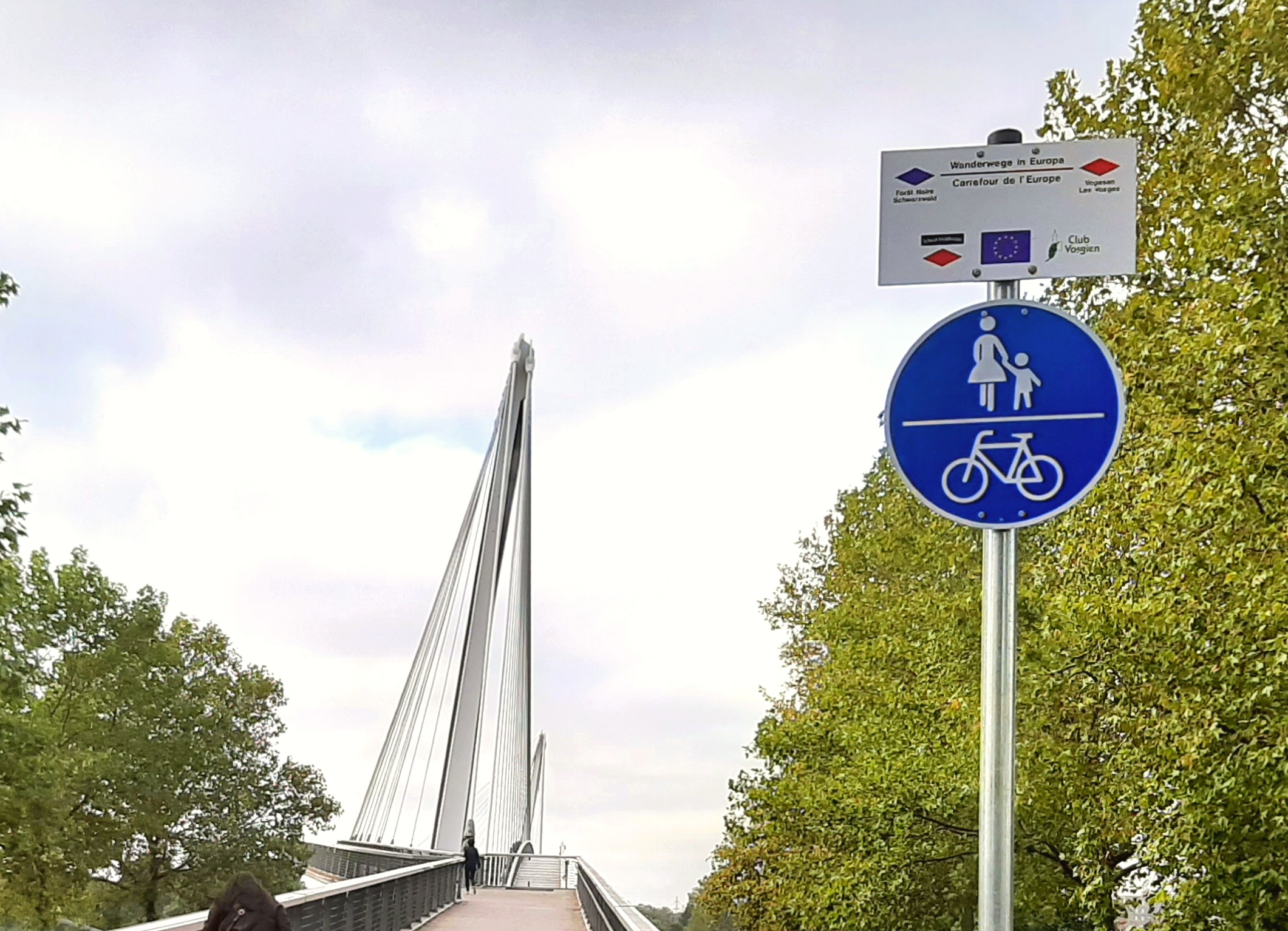
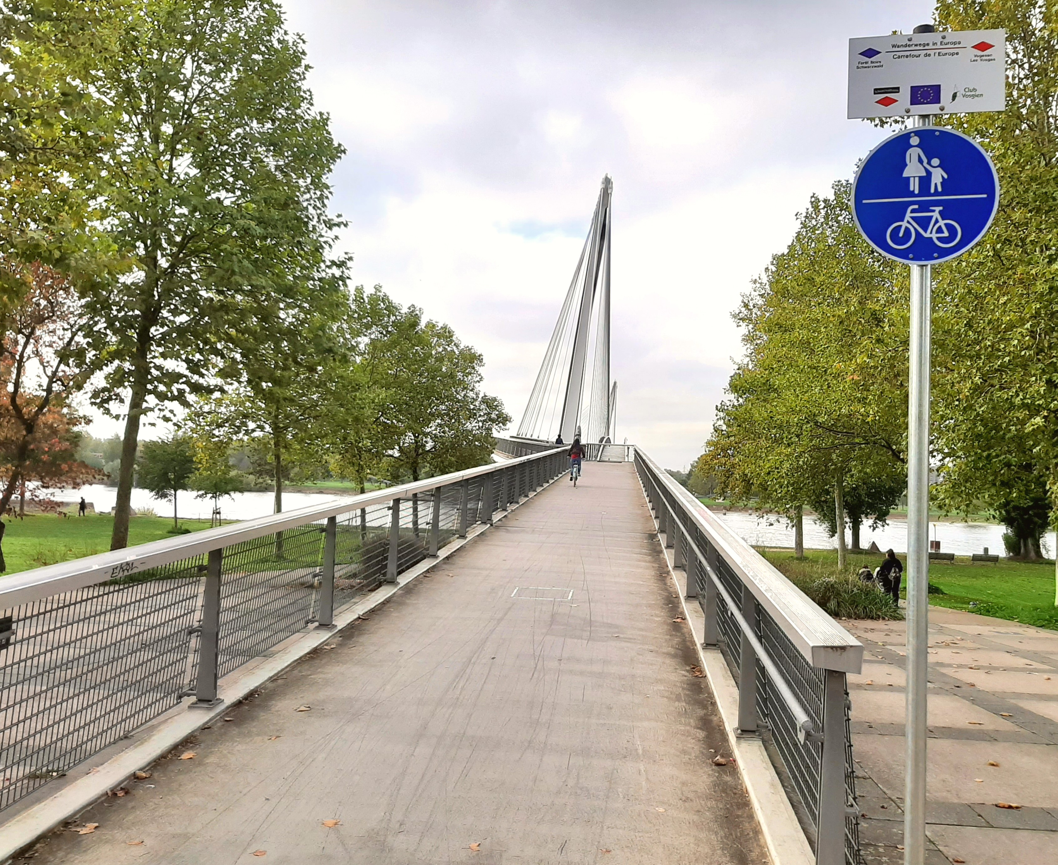
Access to hiking trails in Alsace (9 km)
From the Passerelle bridge to the cathedral in Strasbourg
Cross the river Rhine over the Passerelle des Deux Rives bridge to link up with the French hiking trails which go through Strasbourg.
The Jakobsweg or Way of St James connects northern and southern Alsace, and the route marked with the red diamond is the Stanislas-Kléber GR®534 long-distance hiking trail from Strasbourg to Nancy.
These hiking trails are maintained by the Club Vosgien French rambling organisation.
Start: Passerelle des Deux Rives bridge, Kehl
Finish: Strasbourg cathedral, Strasbourg
to the Club Vosgien